What is recorded here
Situated on a low NW-SE ridge with Laurel Lough c. 100m to the NE at the nearest point. This is a circular grass-covered area (diam. 56m E-W; 55.5m N-S) defined by a slight earthen bank and hedge that is largely reduced to an external scarp (H c. 1.5-1.7m) with an outer fosse (Wth c. 2.7-3m; D 0.3-0.6m). There is an entrance gap at NE but an entrance (Wth of base 2.4m) and outer causeway (Wth of top 3m; H 0.4m) at NW could be original. Archaeological testing (17E0510) c. 70m to the NW at the closest point produced no related material. (Byrne 2017)
The above description is derived from the published 'Archaeological Inventory of County Monaghan' (Dublin: Stationery Office, 1986). In certain instances the entries have been revised and updated in the light of recent research.
Revised by: Michael Moore
Date of upload/revision: 21 June 2018
Amended: 29 January 2020
A local fairy fort (ringfort/rath); wider significance not recorded.
The monument record does not grant public access. Check the route and ask the landowner before entering private land.
- What survives
- Recorded monument
Places near here
 Worm Ditch or Black Pigs RaceArchaeological place · 265 yd
 IndicatedFairy fort / stone ringfort · 409 yd
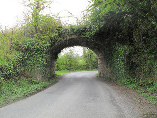 bridgebridge · 1375 yd
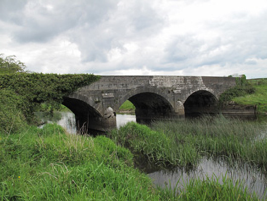 Annaghmullin Bridgebridge · 1491 yd
 European YewEuropean Yew · 1694 yd
 SandhillsMountain / peak · 1701 yd
 StoneparkWood · 1724 yd
 CallowhillMountain / peak · 1.0 mi
 RuinsHouse, fortified house · 1.0 mi
 Bawn in KillyfanaBawn · 2.4 mi
 Garden IsleIslet · 4.1 mi
 Annagh Lough BeachBeach / strand · 5.1 mi