What is recorded here
In pasture, prominently sited on top of a steep-sided, N-S ridge. The rath straddles the E-W width of the ridge top. It consists of a raised, broadly oval area (diam. c. 35m E-W; c. 40m N-S) defined by a substantial gravelly, earthen bank (Wth c. 5m; int. H 1-1.4m; ext. H 2.5-3m) and enclosed by a fosse (Wth c. 3; D 0.7-1m), with remnants of a low, stony external bank (Wth 2-2.5m; ext. H 0.4-0.8m) best preserved at W-N. There is a broad break (Wth c. 8m) in the inner bank and fosse at ESE, most likely indicating the location of the original entrance. The perimeter of the rath is thickly ringed with hawthorn and hazel trees.
Compiled by: Jane O'Shaughnessy
Date of upload: 27 August 2014
The monument record does not grant public access. Check the route and ask the landowner before entering private land.
- What survives
- Recorded monument
Places near here
 IndicatedFairy fort / earthen ringfort · 742 yd
 French Hill MonumentMemorial · 884 yd
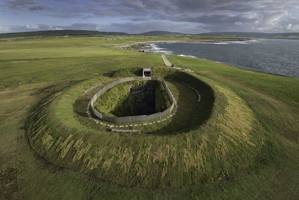 Enclosure in Buncam NorthEnclosure · 1588 yd
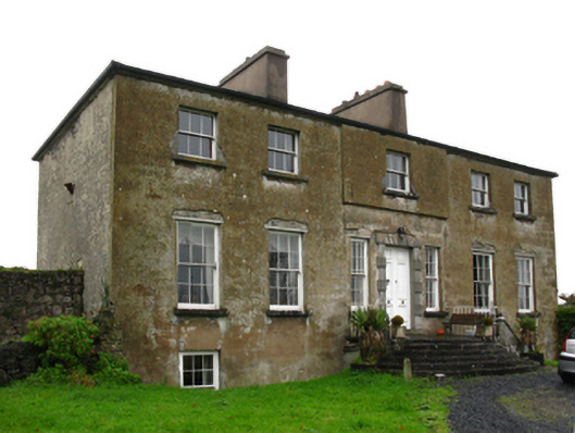 Hawthorn Lodgecountry house · 1.3 mi
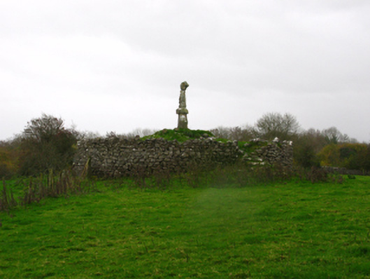 monumentmonument · 1.5 mi
 Breaffy WoodsWood · 1.6 mi
 Black mulberryBlack mulberry · 1.9 mi
 Kinturk CastleCastle · 2.1 mi
 1798 MemorialMemorial · 2.7 mi
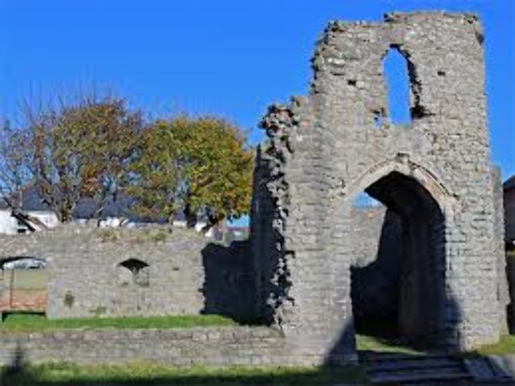 Barry CastleRuins · 3.0 mi
 Battle of CastlebarMajor battlefield · 3.1 mi
 Ballintubber AbbeyHeritage attraction · 4.4 mi