
What is recorded here
Situated on a low ridge with good views in all directions. Only the W half of a possible hexagonal bawn wall survives from SE (L 13.1m E-W) through SW (L 17.35m E-W) to NW (L 12.5m N-S; wall T 0.9m), elsewhere the wall has been levelled with modern farm buildings along the line of the E half of the building. The wall is constructed from roughly coursed limestone rubble built on natural rock outcrop. The large masonry boulders used in the wall may indicate an early medieval date for its construction. A putlog-hole is visible off-centre to the S on the W wall with a blocked-up gateway (Wth 2m; H 2.6m) in the centre of the SW wall. A basal plinth visible along the internal face of the wall acted as foundation for the wall. Quoin stones were undressed and cut at an angle to facilitate the return of the adjoining wall at an angle which gives the bawn its distinctive shape. This may be the remains of the bawn enclosing a building (TN041-088001) referred to in the Civil Survey (1654-6) as 'the ould stump of a stone house in Ballycormocke' (Simington 1931, vol. 1, 66). 'Theobold Purcell of Loghmoe Esqr Irish Papist' is listed as proprietor (ibid.).
Compiled by: Caimin O'Brien.
Date of upload: 22 September 2008
A local castle; wider significance not recorded.
The monument record does not grant public access. Check the route and ask the landowner before entering private land.
- What survives
- Recorded monument
Places near here
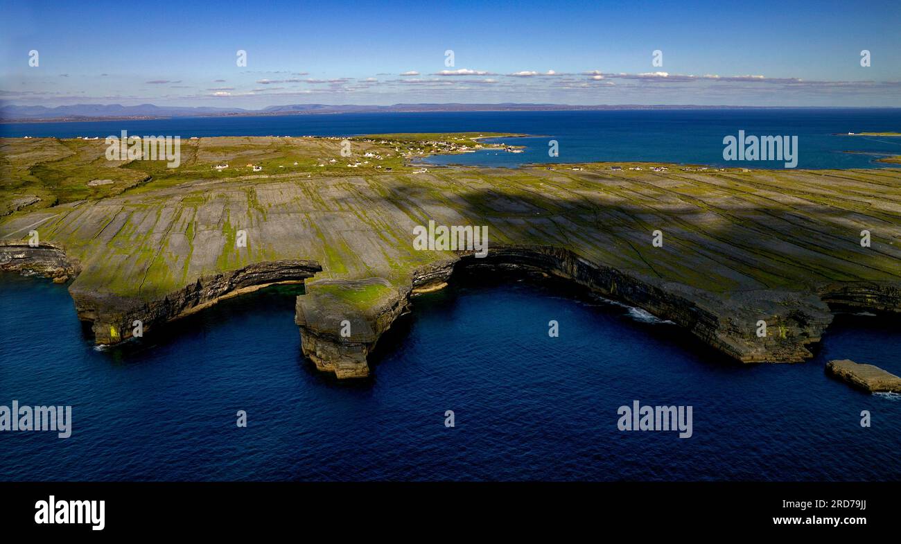 Black FortFairy fort / earthen ringfort · 207 yd
 Cormackstown Heritage CentreMuseum · 216 yd
 TullaunEnclosure · 825 yd
 Black Castle (in ruins)Castle, unclassified · 1452 yd
 Water millWater mill, unclassified · 1458 yd
 Beakstown Saw Millmill (water) · 1484 yd
 Beakstown HouseCastle, unclassified · 1534 yd
 Wildlife CorridorWood · 2.7 mi
 Lár na PáirceMuseum · 2.8 mi
 WoodlandWood · 3.0 mi
 Killough Hill (site of)Mountain / peak · 3.9 mi
 KnockaneMountain / peak · 4.2 mi
Other information
Photo: Credit not shown in the picture search · Rights wording not checked; contact us if this picture should be removed