What is recorded here
On an E-facing slope in pastureland, c. 90m to the WNW of a holy well (GA114-057003-). Described by Fahey (1893, 51) as 'a ruined oratory of considerable antiquity'. However, all that survived then, and now, is one flat-topped coursed wall (H 3m; Wth 0.9m) constructed of well-cut and mortared blocks, which is aligned E-W. A couple of projecting stones at either end indicate the returns suggesting that it is the N wall of a building (L 11.5m int.). Traces of a plinth are visible at the base of the N (external) face of the wall. The only architectural feature is a possible putlog hole in its S (internal) face. Possibly the remains of a church or ecclesiastical building. According to local information it was a 'monastery'.
Compiled by: Galway Archaeological Survey, UCG
Date of upload: 31 January 2020
A local church or high cross; wider significance not recorded.
The monument record does not grant public access. Check the route and ask the landowner before entering private land.
- What survives
- Recorded monument
Places near here
 HawthornHawthorn · 63 yd
 European ashEuropean ash · 101 yd
 CrossCross · 102 yd
 CaveMan-made underground passage · 998 yd
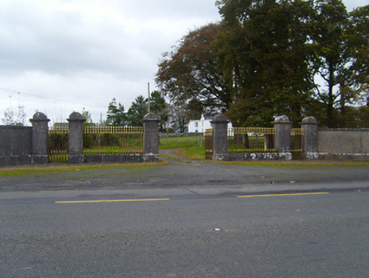 Tullira Castlegates/railings/walls · 1672 yd
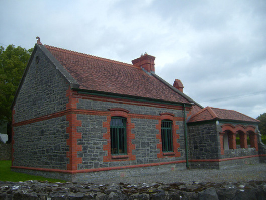 Kiltartan Gregory Museumschool · 1.2 mi
 Ballylee CastleCastle, tower house · 1.5 mi
 Ballymaquiff CastleCastle · 1.5 mi
 Drumharsna CastleHeritage attraction · 2.5 mi
 Kilmacduagh Monastic SiteVisitor information · 5.7 mi
 Kilmacduagh MonasteryHeritage attraction · 5.8 mi
 Mulroney's IslandIslet · 6.5 mi
Other information
Photo: Credit not shown in the picture search · Rights wording not checked; contact us if this picture should be removed