
What is recorded here
On an E-facing slope in scrubland overlooking a turlough to the SE. This drystone-built Man-made underground passage (L >9m) is roughly L-shaped in plan. The long axis runs NW-SE and the short axis extends from its SE end and runs NE-SW.
Compiled by: Galway Archaeological Survey, UCG
Date of upload: 6 September 2019
The monument record does not grant public access. Check the route and ask the landowner before entering private land.
- What survives
- Recorded monument
Places near here
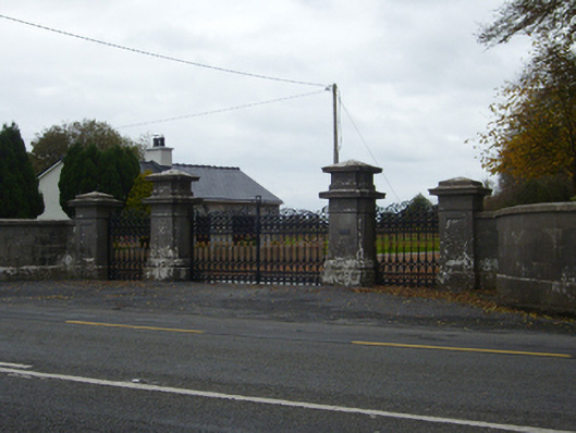 Tullira Castlegates/railings/walls · 968 yd
 HawthornHawthorn · 991 yd
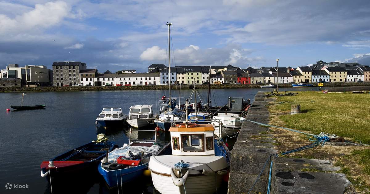 IndicatedChurch · 998 yd
 CrossCross · 1036 yd
 European ashEuropean ash · 1038 yd
 Enclosure in NewhallEnclosure · 1.1 mi
 Ballymaquiff CastleCastle · 1.1 mi
 Ballylee CastleCastle, tower house · 1.8 mi
 Drumharsna CastleHeritage attraction · 2.2 mi
 Kilmacduagh Monastic SiteVisitor information · 6.2 mi
 Mulroney's IslandIslet · 6.3 mi
 Traught BeachBeach / strand · 8.3 mi
Other information
Photo: Credit not shown in the picture search · Rights wording not checked; contact us if this picture should be removed