What is recorded here
Indicated is a burial ground in Corgarve (athlone North By.), County Roscommon, Ireland. It is a rectangular enclosure on the west side of the Athlone to Roscommon town road, defined by largely collapsed drystone walls. The site lies west of the Quaker meeting house, with only two visible graves dating from after the meeting house abandoned operations in 1848.
On a level landscape on the W side of the Athlone to Roscommon town road (N 61). The burial ground to the W of the Quaker meeting house (RO042-172001-) is a rectangular enclosure (int. dims 27.5m E-W; 20.2m N-S) defined by drystone-built walls (Wth 0.8m; H 0.8m) which are largely collapsed. An entrance cannot be identified, and there are only two graves visible that post-date the abandonment of the meeting house in 1848. (Goodbody 2013)
Compiled by: Michael Moore
Date of amended upload: 30 July 2013
The monument record does not grant public access. Check the route and ask the landowner before entering private land.
- What survives
- Recorded monument
Places near here
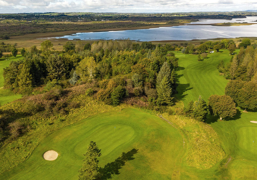 Embanked enclosureFairy fort / earthen ringfort · 700 yd
 IndicatedFairy fort / earthen ringfort · 1194 yd
 Ballymurray ForestForest · 1230 yd
 Mote Parkdemesne walls/gates/railings · 1408 yd
 Lower WoodForest · 1651 yd
 Hangman's HillMountain / peak · 1.5 mi
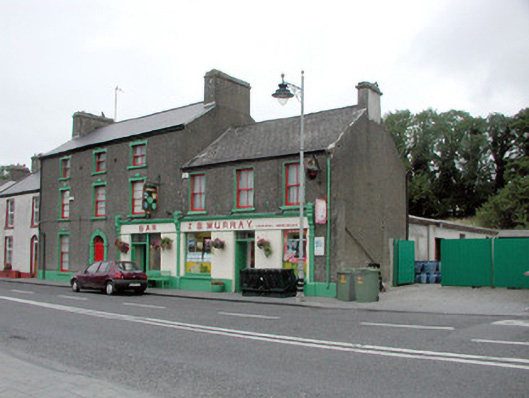 J.S. Murrayhouse · 1.7 mi
 CastleCastle, unclassified · 2.1 mi
 Galey CastleCastle, tower house · 2.6 mi
 Galey BayBay · 2.8 mi
 Cruit BayBay · 2.8 mi
 Sedgy IslandIslet · 3.6 mi