What is recorded here
On a level landscape on the W side of the Athlone to Roscommon town road (N 61). The burial ground to the W of the Quaker meeting house (RO042-172001-) is a rectangular enclosure (int. dims 27.5m E-W; 20.2m N-S) defined by drystone-built walls (Wth 0.8m; H 0.8m) which are largely collapsed. An entrance cannot be identified, and there are only two graves visible that post-date the abandonment of the meeting house in 1848. (Goodbody 2013)
Compiled by: Michael Moore
Date of amended upload: 30 July 2013
The monument record does not grant public access. Check the route and ask the landowner before entering private land.
- What survives
- Recorded monument
Places near here
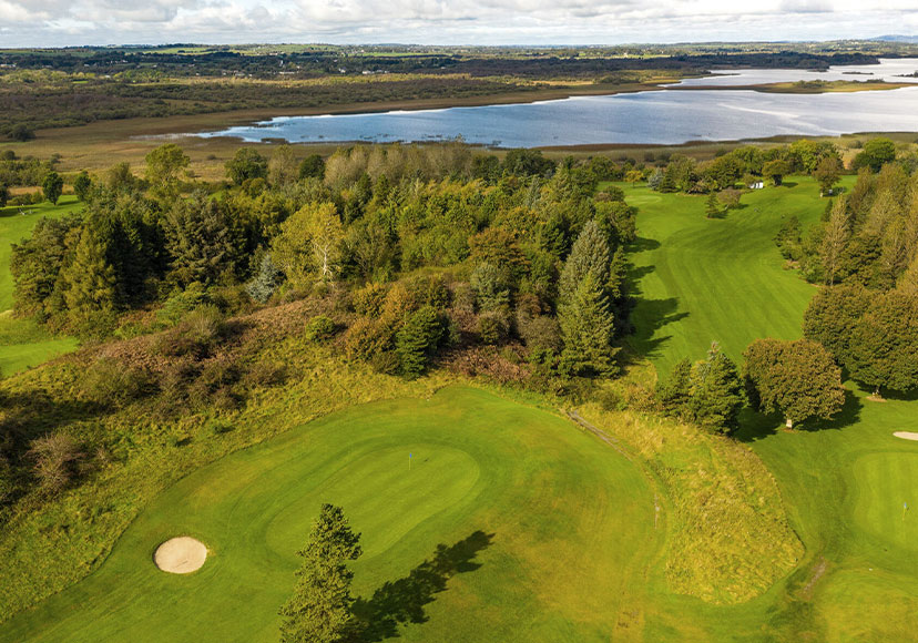 Embanked enclosureFairy fort / earthen ringfort · 700 yd
 IndicatedFairy fort / earthen ringfort · 1194 yd
 Ballymurray ForestForest · 1230 yd
 Mote Parkdemesne walls/gates/railings · 1408 yd
 Lower WoodForest · 1651 yd
 Hangman's HillMountain / peak · 1.5 mi
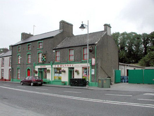 J.S. Murrayhouse · 1.7 mi
 CastleCastle, unclassified · 2.1 mi
 Galey CastleCastle, tower house · 2.6 mi
 Galey BayBay · 2.8 mi
 Cruit BayBay · 2.8 mi
 Sedgy IslandIslet · 3.6 mi