What is recorded here
The circular field depicted at this location on the second edition of the OS map is now used as a cattle enclosure. The substantial enclosing stone wall does not appear to be of recent construction, though it is partly rebuilt. The original walling, where visible, is well-constructed and consists of a rubble core faced externally and internally with drystone masonry. It is preserved to a maximum external height of 1.75m and an internal height of 1.45m. It has an average basal width of 1.5m. There are two breaks in the wall, at ESE and WNW, but it is not clear if these are original. The interior, 23m in diameter, is level with no apparent surface features.
The above description is derived from A. O'Sullivan and J. Sheehan (compilers), 'The Iveragh peninsula: an archaeological survey of South Kerry'. Cork University Press (1996), no. 726. In certain instances the entries have been revised and updated in the light of recent research.
Date of upload: 29 July 2013
The monument record does not grant public access. Check the route and ask the landowner before entering private land.
- What survives
- Recorded monument
Places near here
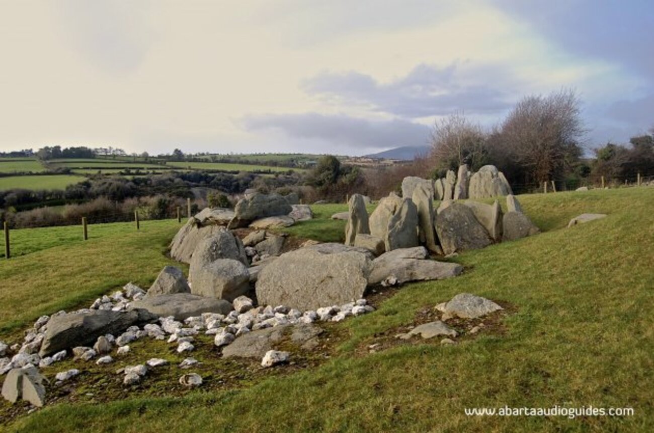 Man-made underground passage in Knockroe (iveragh By.)Man-made underground passage · 1012 yd
 Cloghaunleaghaniska Fort (Site of)Fairy fort / earthen ringfort · 1694 yd
 CaunogeMountain / peak · 1.7 mi
 Com an CharriaMountain / peak · 2.4 mi
 Church in CaherlehillanChurch · 3.7 mi
 Short Castle (Site of)Castle, unclassified · 4.7 mi
 Killinane Church (in ruins)Church · 4.7 mi
 Soft Tree-fernSoft Tree-fern · 6.3 mi
 Chilean wine palmChilean wine palm · 6.3 mi
 Sheep Dog TrainingHeritage attraction · 6.5 mi
 Kells BeachBeach / strand · 6.5 mi
 FeaklecallyHeadland · 6.8 mi