What is recorded here
In scrub-covered area, on low-lying level terrain. Site depicted on 1923 OS 6-inch map as roughly rectangular enclosure (20m N-S; 25m E-W) is now inaccessible due to dense vegetation cover. Ruinous stone enclosing bank (int. H 0.9m; ext. H 0.9m) visible at SW corner.
Compiled by: Denis Power
Date of upload: 26 August 2011
The monument record does not grant public access. Check the route and ask the landowner before entering private land.
- What survives
- Recorded monument
Places near here
 Fulacht fia in CooltominFulacht fia · 1022 yd
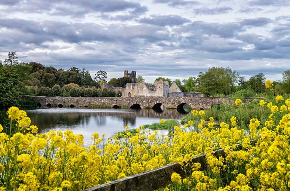 LisardArchaeological place · 1097 yd
 post boxpost box · 1.0 mi
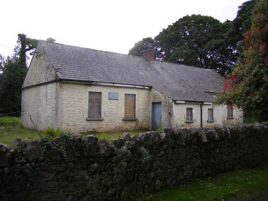 Nutgrove National Schoolschool · 1.1 mi
 Bawn in Lisnacullia (connello Lower By.)Bawn · 1.7 mi
 Lismakeery Castle (in ruins)Castle, tower house · 1.9 mi
 St. Kieran's WellSpring · 2.7 mi
 TobernablahySpring · 2.8 mi
 Askeaton CastleHeritage attraction · 3.8 mi
 Holly IslandIslet · 4.6 mi
 European ashEuropean ash · 5.1 mi
 Foynes Flying Boat & Maritime MuseumMuseum · 5.7 mi