What is recorded here
Not marked on OS 1836 or 1876 eds. Small, oval, tree-covered island (dims. c. 25mNNE-SSW; c. 12m WNW-ESE) in Coologe Lough, c.100m from the shoreline.
The above description is derived from the published 'Archaeological Inventory of County Cavan' (Dublin: Stationery Office, 1995). In certain instances the entries have been revised and updated in the light of recent research.
Date of upload/revision: 22 December 2008
The monument record does not grant public access. Check the route and ask the landowner before entering private land.
- What survives
- Recorded monument
Places near here
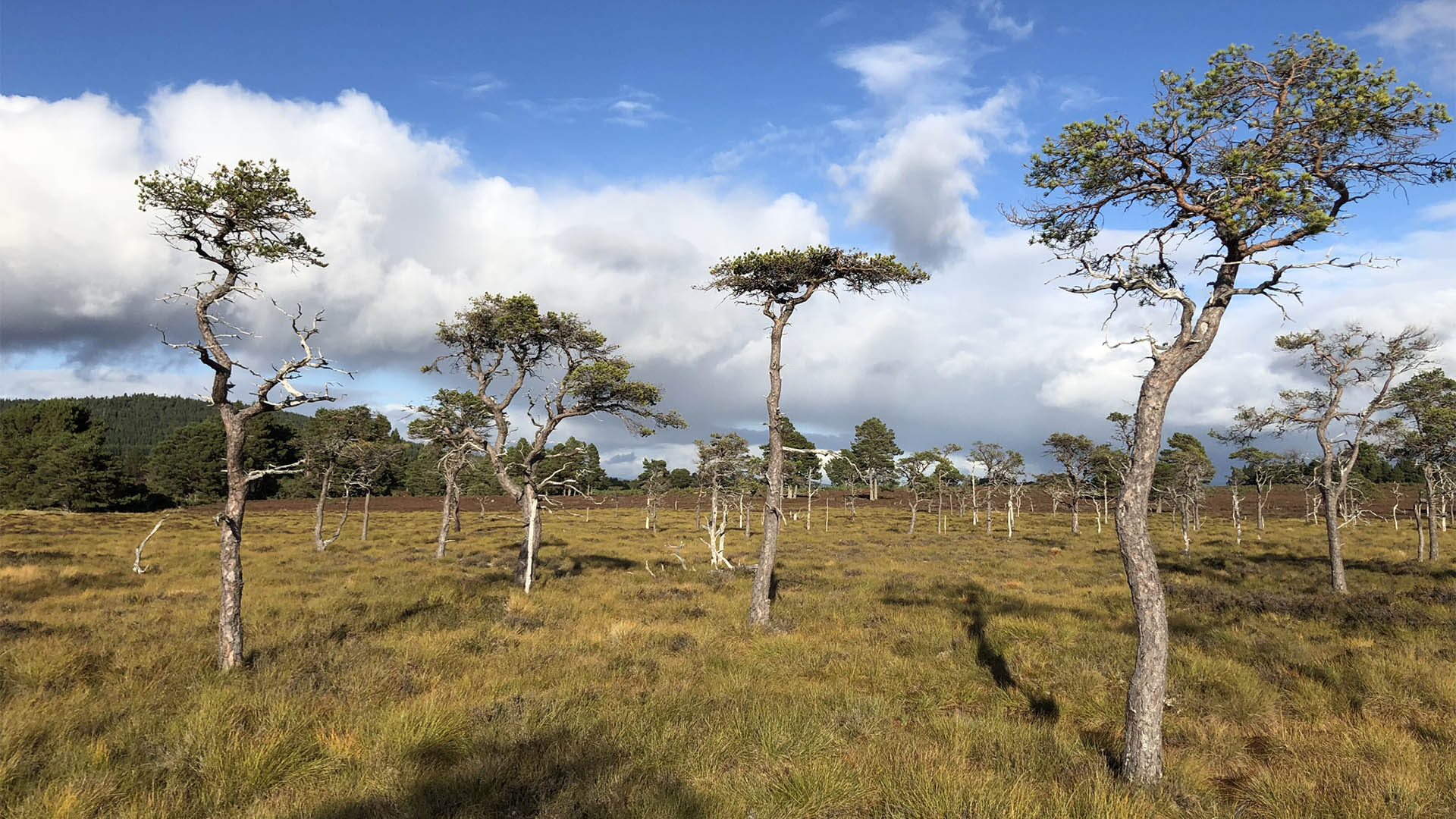 Derrycassan Bog WoodlandWood · 731 yd
 Ballyconnell Log CabinsForest · 1096 yd
 ToberlyanHoly well · 1120 yd
 IndicatedHilltop enclosure · 1626 yd
 Saint Patrick's Catholic Churchchurch/chapel · 1.3 mi
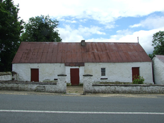 farm housefarm house · 1.3 mi
 Bellaheady MountainMountain / peak · 1.4 mi
 DerrynigginMountain / peak · 1.6 mi
 Killycluggin StoneVisitor information · 1.7 mi
 Giants GraveArchaeological place · 1.7 mi
 CastleCastle, ringwork · 2.1 mi
 LissanoverCastle, unclassified · 2.1 mi