What is recorded here
Indicated is a circular crannog in County Mayo, Ireland, still visible on 1838 and 1916 maps. Its raised centre slopes to water, then drops suddenly two metres deep. Timber stakes and animal bone mark its edge beneath reeds and nettles, hinting that people lived, ate and discarded there before the lake swallowed the shape.
This crannog is shown on the 1838 and 1916 OS 6-inch maps as small, circular island. It is a circular structure (diam. c. 27.5m N−S) with a raised centre which slopes down towards the surrounding water level, with a sudden drop at the edge to a depth of c. 2m. When inspected in 1988, timber stakes were noted protruding around the stony edge of the crannog just below water level, and a large amount of animal bone was visible scattered around the edge. It is densely overgrown with bushes, reeds and nettles. Another crannog (MA093-090----) is located c. 120m to NE.
The monument record does not grant public access. Check the route and ask the landowner before entering private land.
- What survives
- Recorded monument
Places near here
 CashelFairy fort / stone ringfort · 1181 yd
 IndicatedFairy fort / earthen ringfort · 1659 yd
 Ballyhaunis Courthousecourt house · 1.8 mi
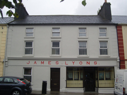 James Lyonshotel · 1.8 mi
 CastleCastle, unclassified · 2.0 mi
 Rath Castle in ruinsCastle, tower house · 4.4 mi
 East Mayo Brigade MonumentMemorial · 6.3 mi
 Kiltimagh MuseumMuseum · 10 mi
 I'll Send You The FareMemorial · 11 mi
 Land of the GiantsHeritage attraction · 11 mi
 Oak WoodForest · 11 mi
 Thorn CaveCave · 12 mi