What is recorded here
Indicated is a fairy fort or earthen ringfort in Coollusty, County Roscommon, Ireland. It occupies a circular grass-covered area on the south-facing slope of a slight ridge, bounded by an overgrown earthen bank and a rounded fosse. A three-metre entrance appears at the east, while Rath sits six metres to the north-northeast.
On the S-facing slope of a slight WNW-ESE ridge. Circular grass-covered area (diam. 36.6m E-W; 33.2m N-S) defined by an overgrown earthen bank (Wth 3.7-5m; int. H 0.2-0.6m; ext. H 0.6-1.7m), with a rounded fosse (Wth of top 4m; Wth of base 1.6m; D 0.45m) WSW-NNW. There is an entrance (Wth 3m) at E. Rath (RO041-076001-) is 6m to the NNE.
See the attached aerial image (back, left) taken from the NE
Compiled by: Michael Moore
Date of upload: 24 August 2010
The monument record does not grant public access. Check the route and ask the landowner before entering private land.
- What survives
- Recorded monument
Places near here
 Stone CrossCross, Wayside cross · 393 yd
 IndicatedFairy fort / earthen ringfort · 508 yd
 European Crab AppleEuropean Crab Apple · 539 yd
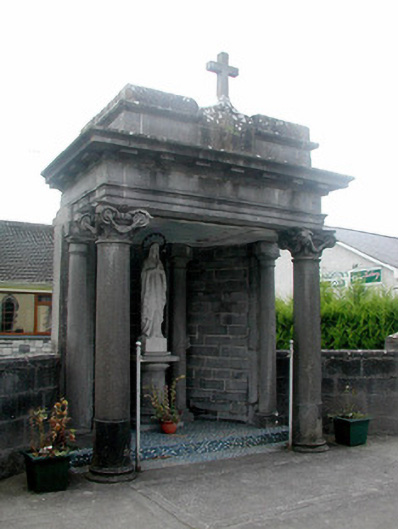 shrine/oratory/grottoshrine/oratory/grotto · 1269 yd
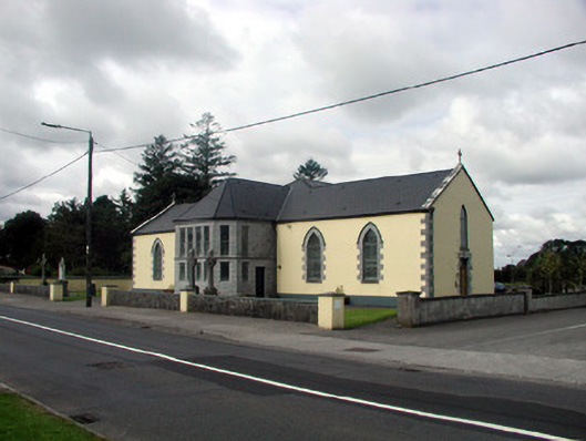 Saint Patrick's Catholic Churchchurch/chapel · 1311 yd
 CastleHouse, fortified house · 1707 yd
 Sally IslandIslet · 3.5 mi
 TogherfinnForest · 3.6 mi
 Castle KellyCastle, tower house · 3.8 mi
 Inchnaveague IslandIslet · 5.0 mi
 Mount MaryMountain / peak · 6.1 mi
 Site of Killomaine Grave YardArchaeological place · 11 mi