What is recorded here
In a rectilinear pasture field, on a low rise in gently undulating terrain. There are extensive views SSW−NW over a lowlying basin of grassland, much of which is reclaimed from originally wet and boggy ground. A low ridge restricts views to N−E. A farmyard lies immediately to E. Broadly oval platform (44.5m N−S; 53.3m…
Read the whole record
In a rectilinear pasture field, on a low rise in gently undulating terrain. There are extensive views SSW−NW over a lowlying basin of grassland, much of which is reclaimed from originally wet and boggy ground. A low ridge restricts views to N−E. A farmyard lies immediately to E.
Broadly oval platform (44.5m N−S; 53.3m E−W) defined by a scarp, outside which there are traces of a fosse with external bank. The overall plan appears to be suboval or subrectangular with rounded corners. The scarp (ext. H 1.8m) is most substantial at SSW−NW, built up to compensate for a natural fall of ground, and retaining a hint of an internal rim at S−SW (Wth 4.6m; int. H 0.3m; ext. H 1m). At N−NNE it is reduced to a low slumped area, allowing tractor access to the interior. It is quite well defined at E−SE but at SE−S it is again low and disturbed. The fosse is evident as a shallow depression (Wth c. 3m) at SW−NNW. There is a causeway-like break (Wth c. 3m) at N, and at NE−E the fosse is barely discernible, merely a slight dip marked by yellow flag irises. Remnants of the levelled outer bank are visible as a low rise (Wth 5.5m; H 0.3m) on the outer edge of the fosse at SW−W but peter out at NW. The NW quadrant and centre appears to be slightly higher than the rest of the interior.
From the National Monuments Service (Archaeological Survey of Ireland) record MA119-013
Places near here
Photo credits
- National Inventory of Architectural Heritage
- Sitomon, Wikimedia Commons · CC BY-SA 2.0
- Geograph contributor · CC BY-SA 2.0
- Mike Searle, Wikimedia Commons · CC BY-SA 2.0
- Willow, Wikimedia Commons · CC BY 2.5
- Andreas F. Borchert, Wikimedia Commons · CC BY-SA 4.0
- Nigel Thompson, Geograph · Creative Commons Attribution-ShareAlike 2.0
- Rick Crowley, Wikimedia Commons · CC BY-SA 2.0
- Maigheach-gheal, Geograph · CC BY-SA 2.0
- andrew mcmillan, Wikimedia Commons · CC BY 3.0
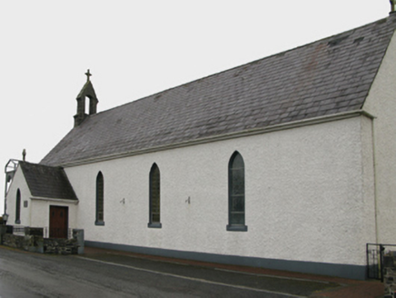 Saint Patrick's Catholic ChurchChurch/chapel · 1292 yd
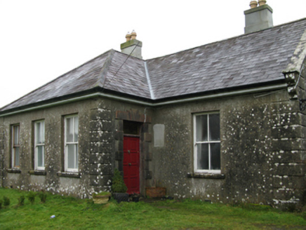 Ballyglass HouseFarm house · 1759 yd
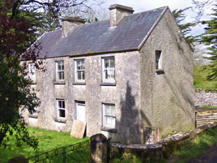 farm house1.5 mi
 European Yew4.1 mi
 Killernan CastleCastle · 4.9 mi
_-_geograph.org.uk_-_5829303.jpg/250px-Castles_of_Connacht,_Fartamore,_Galway_(1)_-_geograph.org.uk_-_5829303.jpg "Photo: Mike Searle, Wikimedia Commons · CC BY-SA 2.0") Fartamore Castle (ruins)Castle · 5.0 mi
Fartamore Castle (ruins)Castle · 5.0 mi European ash7.5 mi
 Cloigtheach (Round Tower)Round tower · 7.6 mi
 Grave YardGraveyard · 8.7 mi
 Inis an GhaillIsland · 16 mi
 Owenriff WayWalking route · 19 mi
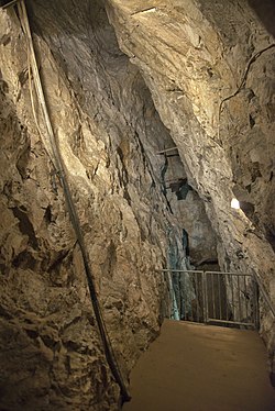 Glengowla MinesHeritage attraction · 21 mi
More archaeology and monuments in County Mayo · All of County Mayo

What do you know about this place?Tap to add a comment or ask a question