What is recorded here
In pasture, on a S-facing slope with views S over Courtmacsherry Bay. Indicated on the 1902 OS 6-inch map as a hachured arc (C c. 30m) S-N abutting the W side of a N-S field boundary. The stone-built field boundary is obscured by briars and is of similar construction to other field boundaries in the area. There are no visible remains of the possible earthwork. There is a rath (CO124-055----) c. 90m to the NNE and another rath (CO124-054----) c. 200m to the NW. It is possible that the hachured arc on the OS 6-inch map indicated the remains of a third rath.
The above description is derived from 'The Archaeological Inventory of County Cork. Volume 5' (Dublin: Stationery Office, 2009).
Date of upload: 22 December 2009
This remains an important historical record, but the official description says the monument is no longer visible or has been destroyed. The monument record does not grant public access. Check the route and ask the landowner before entering private land.
- What survives
- No visible remains or recorded as destroyed
Places near here
 Garrylucas EastSettlement cluster · 1302 yd
 post boxpost box · 1550 yd
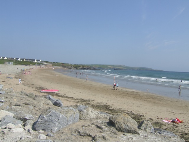 Garretstown StrandBeach / strand · 1656 yd
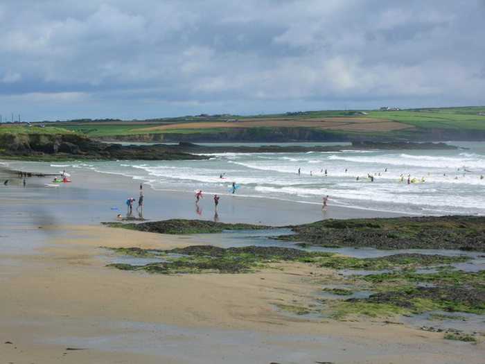 Garrylucas, White StrandBeach / strand · 1711 yd
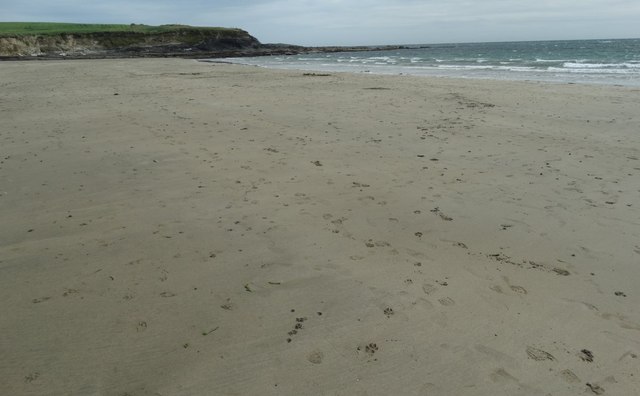 White StrandBeach / strand · 1.0 mi
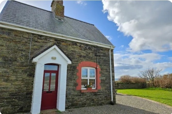 Fulacht fia in Lispatrick LowerFulacht fia · 1.1 mi
 school master's houseschool master's house · 1.2 mi
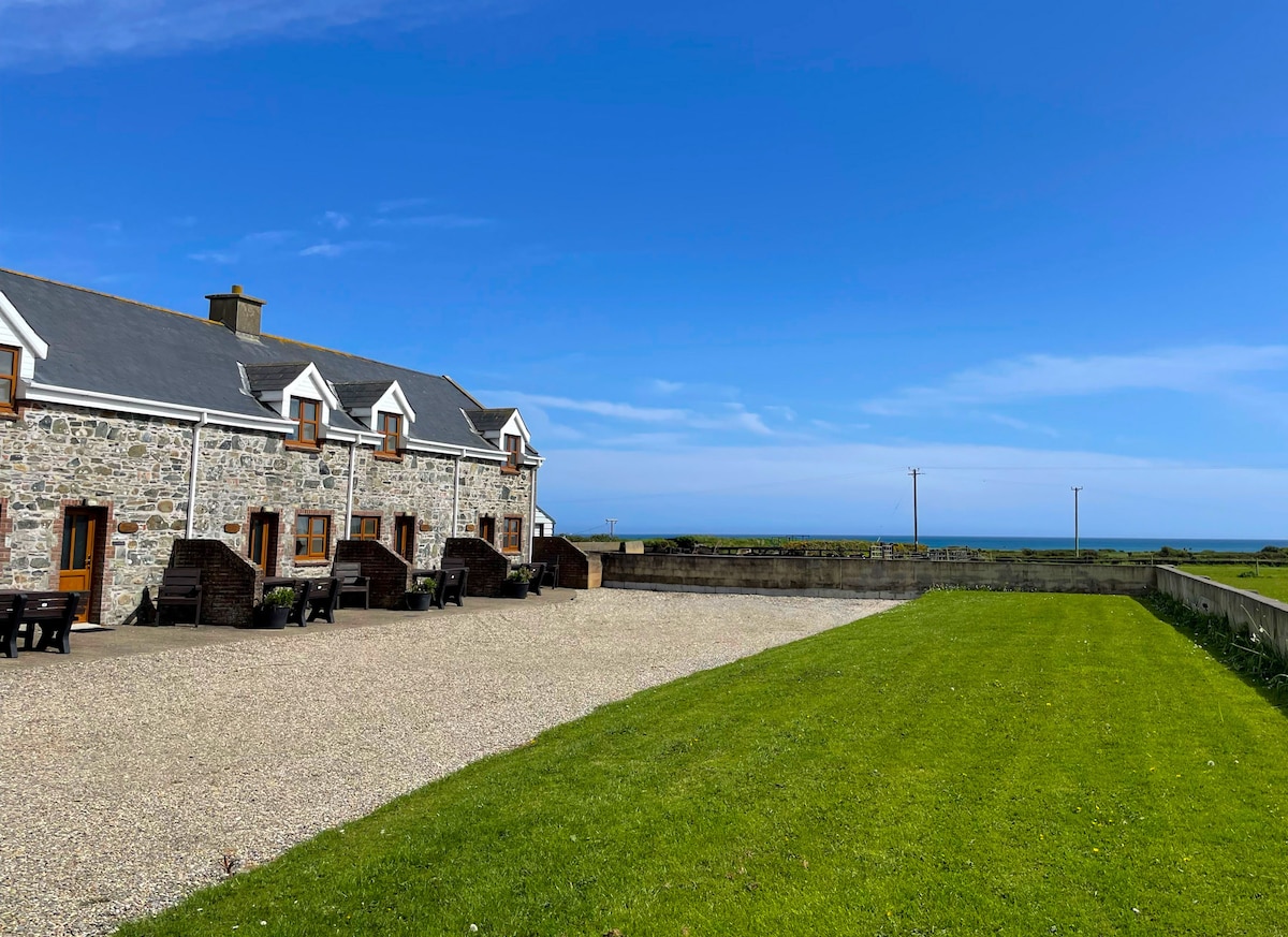 Kilmore WoodWood · 1.4 mi
 New WoodWood · 1.6 mi
 Hackstown Raised Beach GeologyNamed rock · 2.4 mi
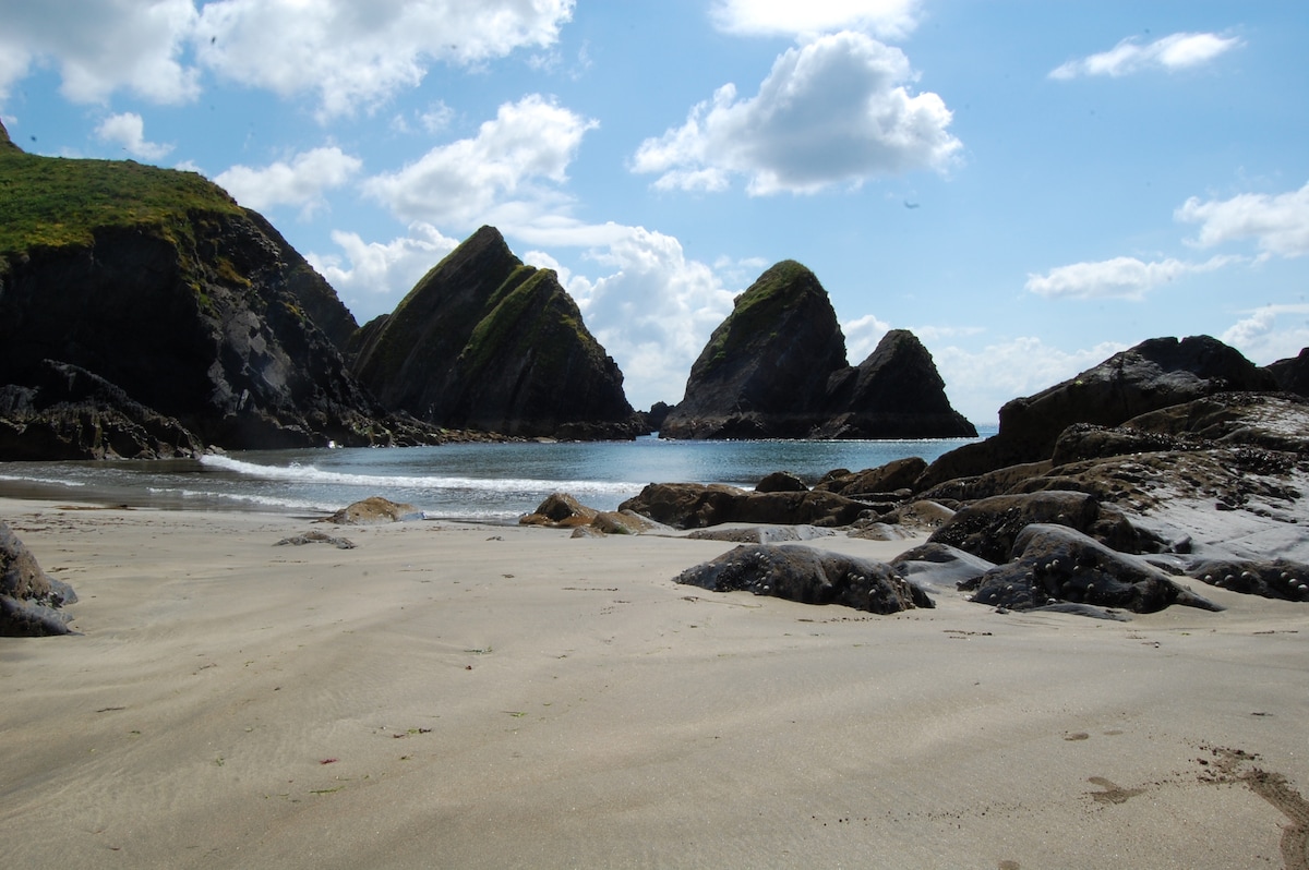 Minane IslandIsland · 2.5 mi
 Ringfinnan 9/11 Garden of RemembranceMemorial · 2.6 mi