What is recorded here
In pasture, on gentle NNE-facing slope. Contained within narrow strip of land between stream to W and old mill race to E. Depicted as circular enclosure (diam. c. ) on 1841 OS 6-inch map. Levelled; no visible surface trace evident. Not for inclusion in the inventory as shown on 1841 OS 6-inch map with a dotted line- also an unlikely place for an enclosure on bank of river.
Compiled by: Denis Power
Date of upload: 26 August 2011
The monument record does not grant public access. Check the route and ask the landowner before entering private land.
- What survives
- Recorded monument
Places near here
 ExcavationExcavation, miscellaneous · 347 yd
 Fulacht fia in AdamswoodFulacht fia · 549 yd
 IndicatedKiln, lime · 698 yd
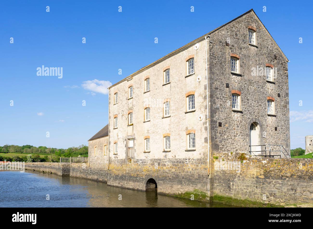 Clonshire Mill (Corn)Mill, corn · 883 yd
 Castle (in ruins)Castle, unclassified · 1580 yd
 Clonshire CastleCastle · 1664 yd
 Flat cemetery in Kiltenan SouthFlat cemetery · 1.1 mi
 Flat cemetery in CroaghFlat cemetery · 1.5 mi
 GinkgoGinkgo · 3.4 mi
 European YewEuropean Yew · 3.5 mi
 Kinnoor WellSpring · 3.5 mi
 Desmond CastleHeritage attraction · 3.7 mi