
What is recorded here
Situated on gentle SE-facing ground overlooking steeper slope, in woodland. Circular area (diam. 30m) defined by an earthen bank (Wth 5m; max. H 1.8m) and an external fosse (Wth 3m; max. D 1.5m). No indication of an entrance or internal features.
From the National Monuments Service (Archaeological Survey of Ireland) record WI043-023
Places near here
Picture notes
- National Inventory of Architectural Heritage
- Maker named on the Wikimedia Commons picture page · CC BY-SA 2.5
- Allie_Caulfield from Germany, Wikimedia Commons · CC BY 2.0
- Computer-made picture. It does not show this monument.
- Computer-made picture. It does not show this playground.
- Computer-made picture. It does not show this walking route.
- Computer-made picture. It does not show this mountain top.
- Goreymurphy, Wikimedia Commons · CC BY-SA 4.0
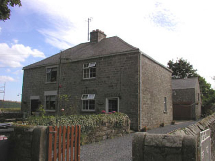 worker's house686 yd
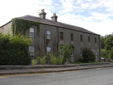 Hunter's Lodge and Oak HavenWorker's house · 813 yd
 Sessile Oak928 yd
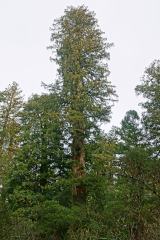 Coast Redwood1504 yd
 Moated site in Parkmore (page)Moated site · 1.2 miComputer-made picture
 Ecclesiastical enclosure in Kilcavan UpperEcclesiastical enclosure · 1.2 miComputer-made picture
 Children's playground2.0 miComputer-made picture
 Slí na Sláinte - The BrookWalking route · 2.1 miComputer-made picture
 Askamore Heritage TrailWalking route · 2.6 miComputer-made picture
 Activity BarnChildren's playground · 3.5 miComputer-made picture
 LakeenMountain / peak · 3.6 miComputer-made picture
 Saint Brigid's WellSpring · 4.5 mi
More archaeology and monuments in County Wicklow · All of County Wicklow

What do you know about this place?Tap to add a comment or ask a question