
What is recorded here
In a grove of trees which encloses a private burial ground of late 19th century date, this burial ground is enclosed within a stone wall which is surround by a grove of trees in which the wayside cross is located. The private burial ground is 40m to the south-east of the cross. Coolamber Castle (LF016-018----) in Co. Longford located 250m to the W. The remains of a 17th century Latin cross (L 1.7m; Wth 0.34m; T 0.2m) can be seen lying on the ground in two broken sections. This cross with its poorly preserved inscription carved in false relief , is now very weathered and in places the inscription is illegible. This cross was recorded in 1864 by Du Noyer (George Victor Du Noyer, “Monumental cross from the summit of a gravel mound East of and close to the old castle of Coolamber. Co. Longford. Geo: V. Du Noyer. 22 July 1864,” Royal Society of Antiquaries of Ireland, accessed January 23, 2020, http://rsai.locloudhosting.net/items/show/23546) when the monument was intact and the inscription was better preserved (Anon. 1895, 106). This article mistakenly identified this cross as being located in the adjoining county of Longford the boundary of which is only 135m to the W. According to this article the 'monumental cross, [was] seven feet high, near the old Castle of Coolamber in this county' and located 'in a grove of trees' (Anon. 1895, 106). The following inscription was recorded by Du Noyer as 'I.N./A. S./ I.H.S./PRAY FOR T[HE SO] VLS OF THO/MAS/NVG/ENT/DEC/ED 12/JAN/1688/AND/OF RO/SE TY/RELL/HIS/WIFE' (Anon. 1895, 106). The top of the cross which bore the letters I. N. A. S. no longer survives and only fragments of the I. H. S. monogram survives. The date 1688 appears to be incorrect and should read 1638 as indicated on the photograph (MacGivney 1908, 78; Walsh 1957, 39). The grove of trees in which the cross is located is indicated on the 1837 edition of the OS 6-inch map. On this map the private burial ground is not indicated.
Compiled & revised by: Caimin O'Brien
Date of revised upload: 28 November 2016
A local church or high cross; wider significance not recorded.
The monument record does not grant public access. Check the route and ask the landowner before entering private land.
- What survives
- Recorded monument
Places near here
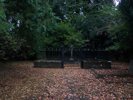 graveyard/cemeterygraveyard/cemetery · 49 yd
 Coolamber CastleHouse, fortified house · 281 yd
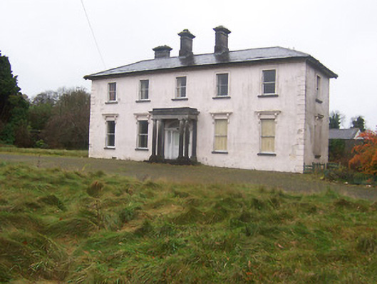 Coolambercountry house · 374 yd
 BarrowBarrow, mound barrow · 937 yd
 Partially indicatedEcclesiastical enclosure · 1052 yd
 CastleCastle, motte · 1732 yd
 Silver FirSilver Fir · 4.7 mi
 Granard MotteMotte-and-bailey castle remains · 4.7 mi
 1798 Monumentmonument · 4.7 mi
 Sweet ChestnutSweet Chestnut · 5.7 mi
 Clonfin Ambush MemorialMemorial · 5.8 mi
 CarrickabaneMountain / peak · 7.0 mi
Other information
Photo: Credit not shown in the picture search · Rights wording not checked; contact us if this picture should be removed