
What is recorded here
Situated at the centre of a basin that was Corfin Lough. The lake is depicted as a sub-rectangular lake (dims c. 600m E-W; c. 230-400m N-S) on the 1834 and 1907 editions of the OS 6-inch map but it has since almost entirely silted up. The crannog is represented as an island in the centre of the lake on both editions of the map. This is a large grass, scrub and tree-covered feature (diam. c. 30m) which proved impossible to reach.
The above description is derived from the published 'Archaeological Inventory of County Monaghan' (Dublin: Stationery Office, 1986). In certain instances the entries have been revised and updated in the light of recent research.
Revised by: Michael Moore
Date of revision: 22 June 2018
The monument record does not grant public access. Check the route and ask the landowner before entering private land.
- What survives
- Recorded monument
Places near here
 Portal tomb in LennanPortal tomb · 1064 yd
 Mass-rock in CargaghramerMass-rock · 1122 yd
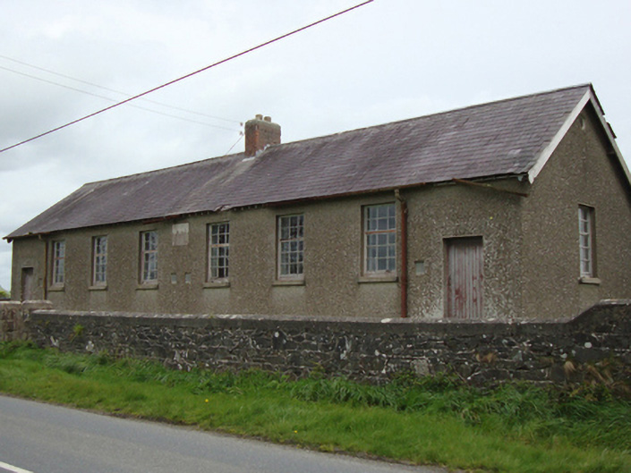 Corvoy National Schoolschool · 1.2 mi
 post boxpost box · 1.2 mi
 Fort HillWood · 1.9 mi
 Knockamaddy Big WoodWood · 2.1 mi
 Battle of ClontibretBattlefield · 4.4 mi
 Monaghan WayWalking route · 4.7 mi
 Lady Rossmore's Cottage (Ruin)Heritage attraction · 6.6 mi
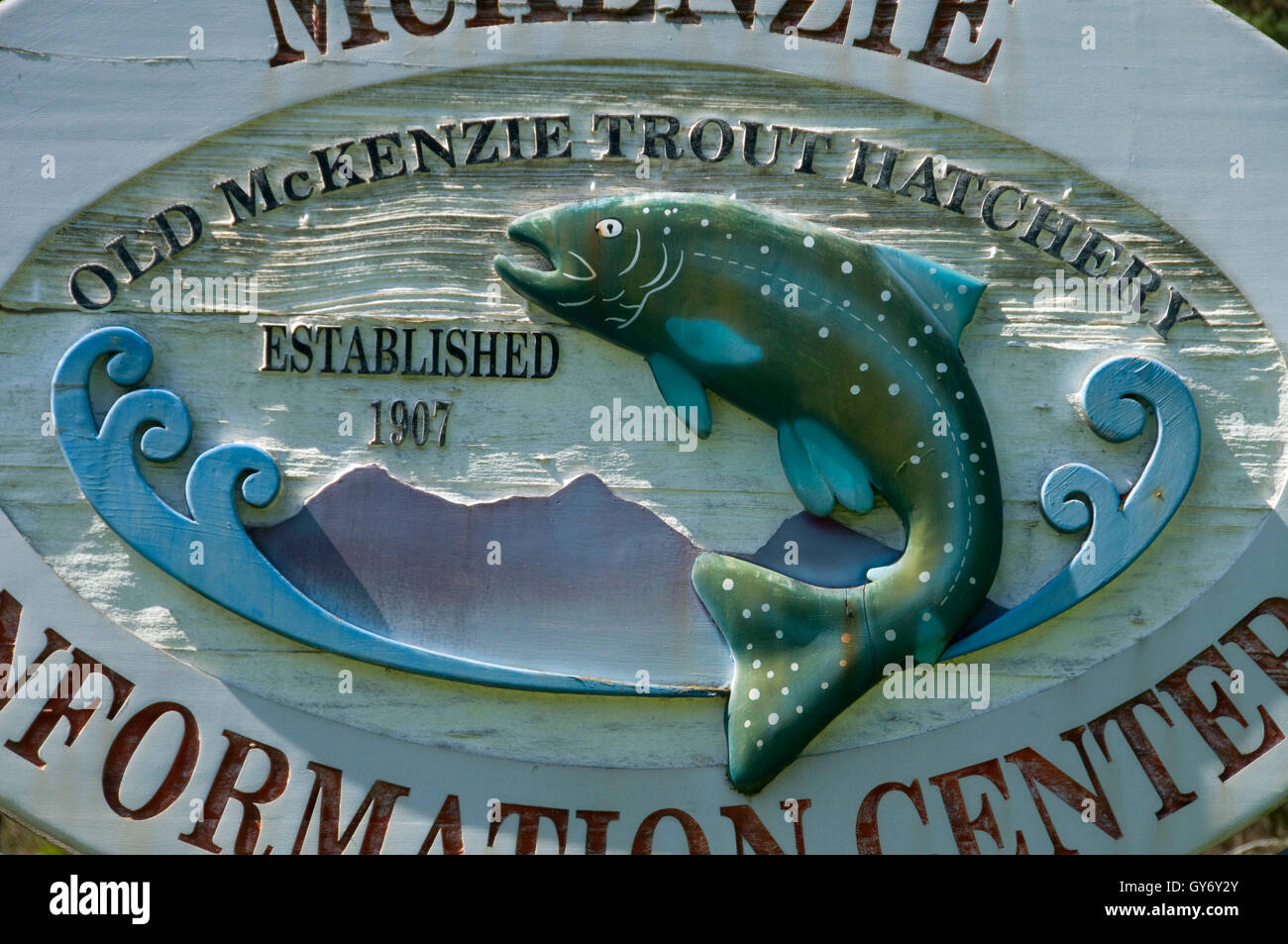 Old Fish HatcheryHeritage attraction · 6.6 mi
 LisnaspeenanMountain / peak · 7.3 mi
 Fedd HillMountain / peak · 7.6 mi
Other information
Photo: Credit not shown in the picture search · Rights wording not checked; contact us if this picture should be removed