What is recorded here
Indicated is a vanished circular fort in County Mayo, visible only through a fence kink and buried scarp beneath blackthorn. The 1838 map captured its twenty-unit diameter before later editions erased it, suggesting human hands or time removed what the survey recorded. The sand pit to the south may have fed the building of a local home, while the conifers now hide the shape from casual sight.
In a thicket of blackthorn, surrounded by young coniferous trees, located on elevated ground. Immediately to S there is a small disused sand pit. There is a house to SE.
A circular enclosure (diam. c. 20) is shown on the 1838 OS 6-inch map; it is not shown on later map editions. Traces of a scarp or levelled enclosing element can be discerned at N−NNE and at W, but it is not possible to trace the entire circuit of the enclosure. A slight kink in a field fence appears to incorporate or respect the original curve of the enclosure at NW−N. It is known locally as a ‘fort’.
Compiled by: Jane O’Shaughnessy
Date of upload: 17 February 2022
The monument record does not grant public access. Check the route and ask the landowner before entering private land.
- What survives
- Recorded monument
Places near here
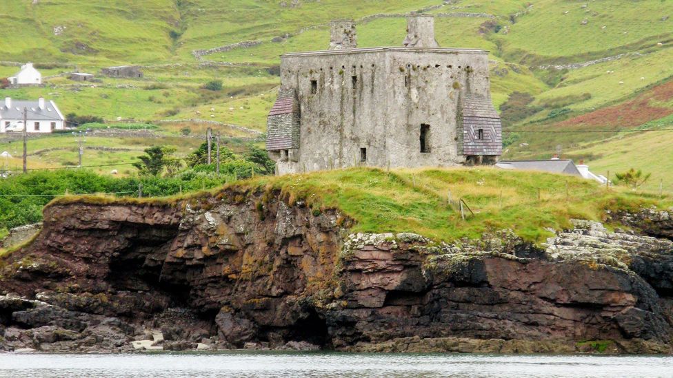 IndicatedFairy fort / earthen ringfort · 999 yd
 CastleCastle, unclassified · 1528 yd
 Promontory fortPromontory fort, inland · 1556 yd
 Mannin Housefarm house · 1661 yd
 farm housefarm house · 1.5 mi
 Rath Castle in ruinsCastle, tower house · 3.1 mi
 Knock MuseumMuseum · 3.1 mi
 Knock ShrineHeritage attraction · 3.2 mi
 East Mayo Brigade MonumentMemorial · 4.3 mi
 I'll Send You The FareMemorial · 7.3 mi
 Oak WoodForest · 9.4 mi
 Geoffrey's WoodForest · 10 mi