What is recorded here
In pasture, on a hillock overlooking a steep fall of ground NW−NE.
Slightly raised circular area (6.4m; H 0.1m at SW; 0.35m at NW) defined by a poorly defined, silted-up fosse (Wth 2m at S 2.4m at E) with an external earth and stone bank (Wth 1.7m; int. H 0.2m; ext. H 0.3m at S, 0.5m at NW). Overall diam. (crest of ext. bank): 13m.
The bank is incorporated into a field fence at NNW−E and is overlain by remnants of another field fence at SE and SW. Ringed with hawthorn, blackthorn and hazel trees.
Compiled by: Jane O’Shaughnessy
Date of upload: 8 December 2021
The monument record does not grant public access. Check the route and ask the landowner before entering private land.
- What survives
- Recorded monument
Places near here
 IndicatedEnclosure · 734 yd
 Mannin Housefarm house · 1.1 mi
 Promontory fortPromontory fort, inland · 1.1 mi
 CastleCastle, unclassified · 1.1 mi
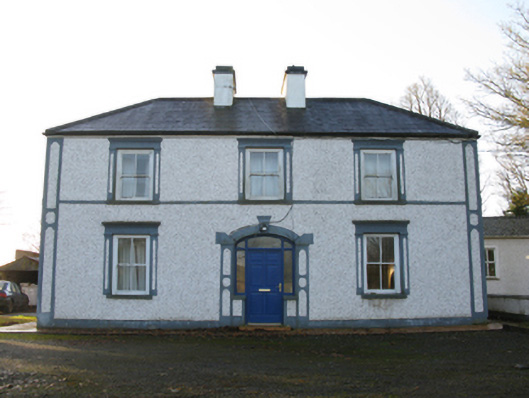 farm housefarm house · 1.2 mi
 Rath Castle in ruinsCastle, tower house · 2.4 mi
 Knock ShrineHeritage attraction · 2.9 mi
 Knock MuseumMuseum · 2.9 mi
 East Mayo Brigade MonumentMemorial · 3.2 mi
 I'll Send You The FareMemorial · 6.1 mi
 Oak WoodForest · 10.0 mi
 Geoffrey's WoodForest · 11 mi