
What is recorded here
In pasture, in gently undulating terrain. Roughly circular area (diam. c. 30m) enclosed by earthen bank SSW->N and NE->ENE, otherwise bank has been removed. A dry-stone field wall abuts enclosure at SSW, but other field boundaries which abutted enclosure at N, NE and E have been removed. Interior is flat and under pasture.
Compiled by: Denis Power
Date of upload: 26 August 2011
This remains an important historical record, but the official description says the monument is no longer visible or has been destroyed. The monument record does not grant public access. Check the route and ask the landowner before entering private land.
- What survives
- No visible remains or recorded as destroyed
Places near here
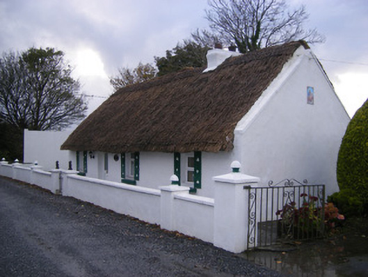 Leprechaun Cottagehouse · 47 yd
 WindmillWindmill · 540 yd
 KilnKiln, lime · 804 yd
 Kilfinny CastleCastle · 932 yd
 Fulacht fia in Commons (connello Upper By.)Fulacht fia · 941 yd
 Kinnoor WellSpring · 1747 yd
 Kilmacow Ho.Bawn · 1.4 mi
 Flat cemetery in Kiltenan SouthFlat cemetery · 1.6 mi
 KnockfeerinaMountain / peak · 2.4 mi
 Famine stoneMemorial · 2.5 mi
 Dysert AenghusaHeritage attraction · 2.7 mi
 Biodiversity in the Maigue CatchmentVisitor information · 3.7 mi
Other information
Photo: Credit not shown in the picture search · Rights wording not checked; contact us if this picture should be removed