What is recorded here
Indicated was a fairy fort marked on old maps at the junction of three field boundaries in County Kerry, but 1960s land reclamation erased the small fields and vanished the ring entirely. Only clearance mounds remain where the subcircular enclosure once stood, stripped of shape and meaning by ploughs hungry for arable ground. What the fairies built or kept there is gone now, swallowed by the same human urge to make land useful that destroyed so much more.
Marked as a subcircular enclosure located at the junction of three field boundaries on the second edition of the OS map, no apparent trace of this site survives. Land reclamation undertaken in the 1960s has resulted in the obliteration of the many small fields in the immediate area of the site, where several clearance mounds occur.
The above description is derived from A. O'Sullivan and J. Sheehan (compilers), 'The Iveragh peninsula: an archaeological survey of South Kerry'. Cork University Press (1996), no. 793. In certain instances the entries have been revised and updated in the light of recent research.
Date of upload: 29 July 2013
The monument record does not grant public access. Check the route and ask the landowner before entering private land.
- What survives
- Recorded monument
Places near here
 IndicatedFairy fort / earthen ringfort · 224 yd
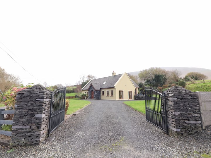 Man-made underground passage in Cullenagh UpperMan-made underground passage · 946 yd
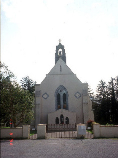 Saint Mary's Catholic Churchchurch/chapel · 1219 yd
 Castle Core (in Ruins)Castle, tower house · 1379 yd
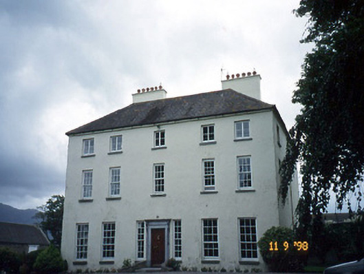 Churchtown Housecountry house · 1609 yd
 Dunloe Ogham StonesHeritage attraction · 1.4 mi
 Japanese pagoda treeJapanese pagoda tree · 1.6 mi
 European YewEuropean Yew · 1.7 mi
 Castle (in Ruins)Castle, tower house · 1.7 mi
 Tomies Mountain North TopMountain / peak · 2.9 mi
 Cnoc an BhrácaMountain / peak · 3.2 mi
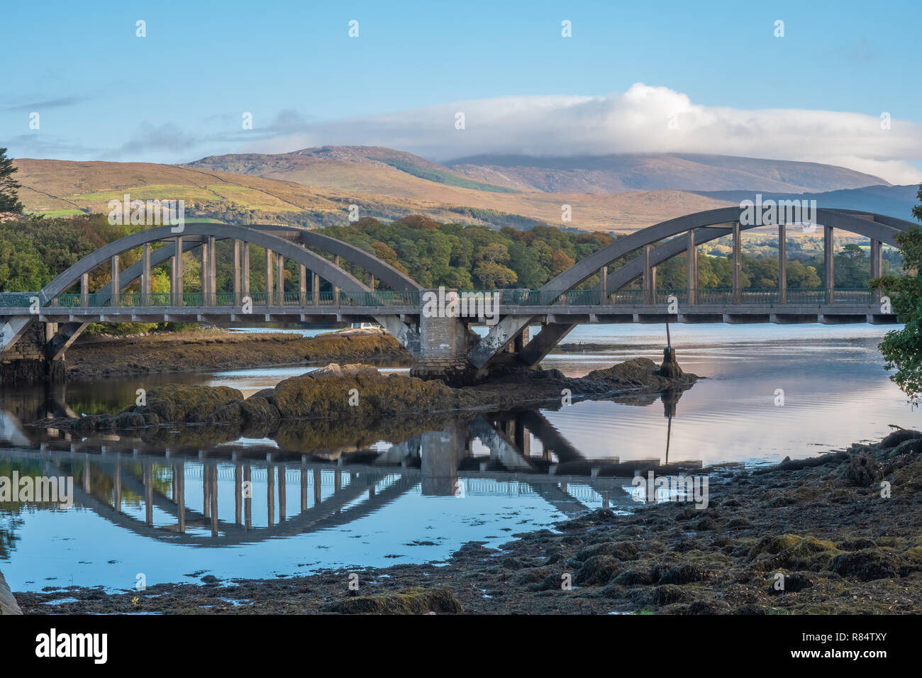 Very small BridgeHeritage attraction · 3.5 mi