What is recorded here
Indicated was a subcircular fairy fort sitting at the junction of four field boundaries in poor land north of Macgillycuddy's Reeks. Men with machines levelled the ring in the early 1970s during land reclamation, erasing a shape that likely watched human life for centuries. The mountains keep their silence, but the flat earth where the fort stood still belongs to the valley and remembers the weight of what was removed.
Shown on the second edition of the OS map as a subcircular enclosure located at the junction of four field boundaries, this site was levelled in the early 1970s during land reclamation operations (local information). It was situated in poor land N of Macgillycuddy's Reeks.
The above description is derived from A. O'Sullivan and J. Sheehan (compilers), 'The Iveragh peninsula: an archaeological survey of South Kerry'. Cork University Press (1996), no. 794. In certain instances the entries have been revised and updated in the light of recent research.
Date of upload: 29 July 2013
The monument record does not grant public access. Check the route and ask the landowner before entering private land.
- What survives
- Recorded monument
Places near here
 IndicatedFairy fort / earthen ringfort · 290 yd
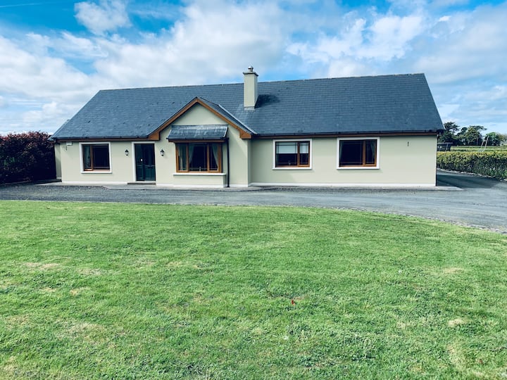 LissafreeFairy fort / earthen ringfort · 1042 yd
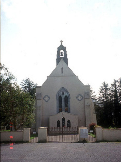 Saint Mary's Catholic Churchchurch/chapel · 1359 yd
 Castle Core (in Ruins)Castle, tower house · 1539 yd
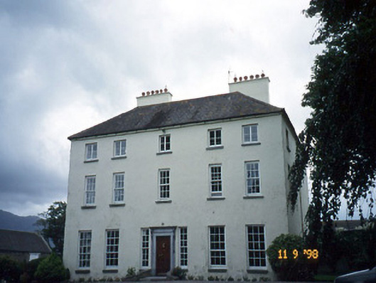 Churchtown Housecountry house · 1.0 mi
 Dunloe Ogham StonesHeritage attraction · 1.4 mi
 Japanese pagoda treeJapanese pagoda tree · 1.7 mi
 European YewEuropean Yew · 1.7 mi
 Castle (in Ruins)Castle, tower house · 1.7 mi
 Tomies Mountain North TopMountain / peak · 2.8 mi
 Cnoc an BhrácaMountain / peak · 3.1 mi
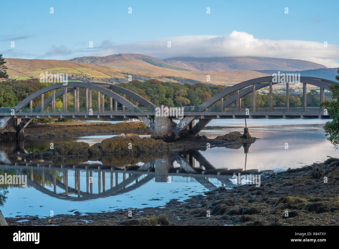 Very small BridgeHeritage attraction · 3.4 mi