What is recorded here
Indicated is a hidden double-ringed fort on a narrow Mayo ridge, its earth banks still standing beside a flat fosse that people once reused as a track. The oval measure is large enough to hold a small neighbourhood, yet it has no gate, name or living memory in the account. It sits in a natural hollow above boggy ground, half swallowed by grass and livestock gaps, as if the land took back what it had first given.
In a slight natural hollow on a narrow N-S pasture ridge overlooking lower boggy ground to E and W. A completely overgrown oval-shaped area (int. diams. c. 38m N-S; c. 30m E-W) is defined by the remains of an inner and outer earthen bank with an intervening fosse. The inner enclosing bank (int. H 0.5-2m; Wth 6.5-8m; ext. H 2m) is mainly round-topped and is encircled by a flat-bottomed fosse (Wth 3m) from NNW-NE-S which has been infilled from S-W-NNW. The fosse was reused as a trackway from NE-E-S. Outside the fosse, a second enclosing bank (int. H 1-1.8m; Wth 4m; ext. H 1m) survives from N-E-S. Both banks are breached by livestock gaps in the NNE sector and later field boundaries run off the monument at NNW and SSE.
Date of visit: 19-3-2025
Compiled by: Gearóid Conroy
The monument record does not grant public access. Check the route and ask the landowner before entering private land.
- What survives
- Recorded monument
Places near here
 bridgebridge · 1328 yd
 Church in Cunnagher SouthChurch · 1454 yd
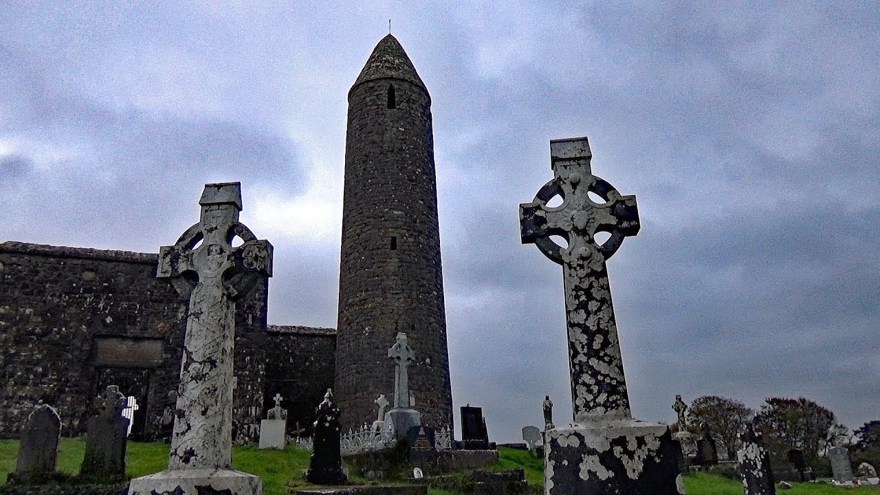 IndicatedEnclosure · 1.1 mi
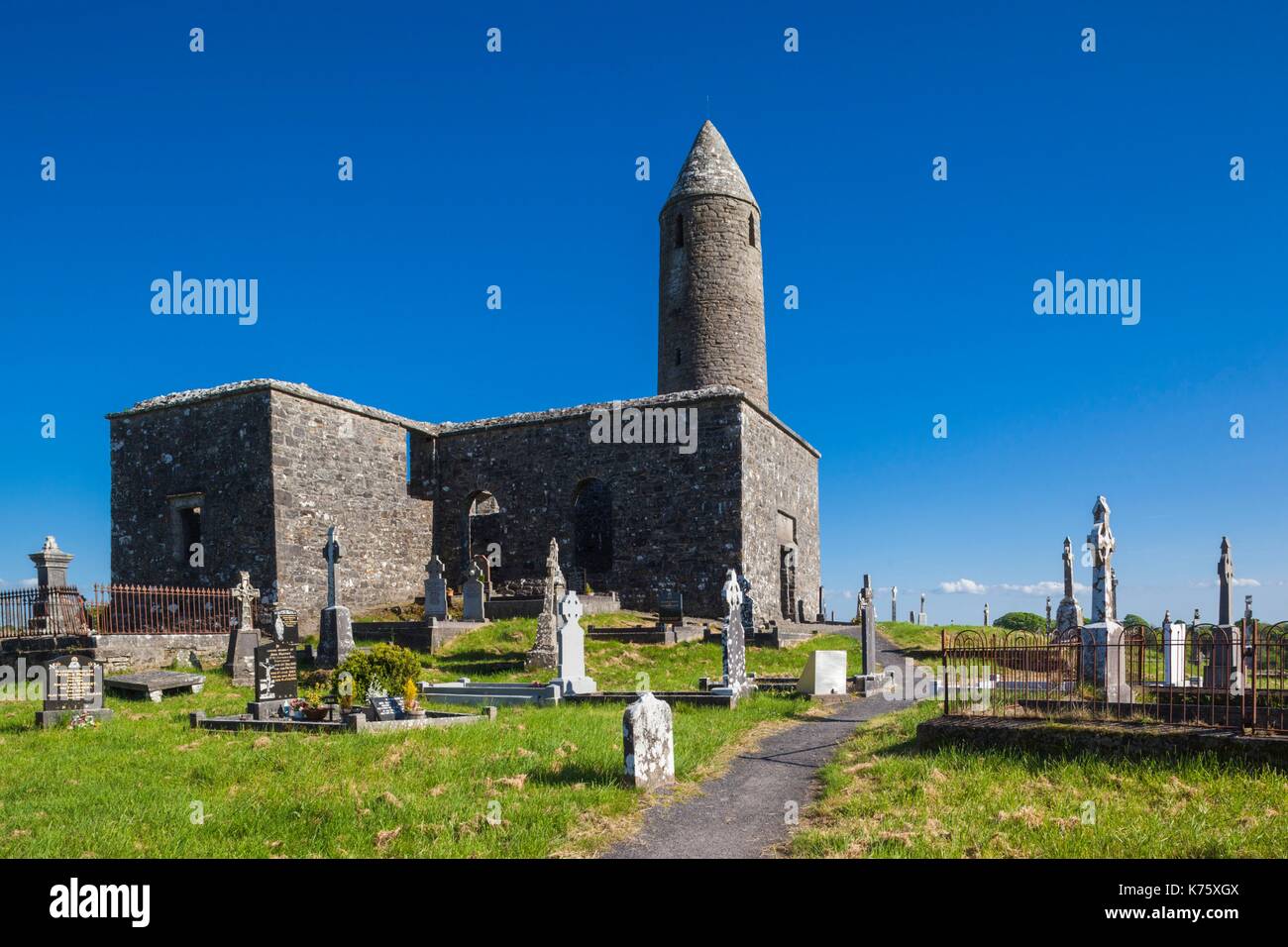 Enclosure in Turlough (carra By.)Enclosure · 1.3 mi
 CastleCastle, unclassified · 1.6 mi
 National Museum of Ireland, Country LifeMuseum · 1.6 mi
 Castle in RuinsCastle, unclassified · 1.6 mi
 Sunken GardenWood · 1.7 mi
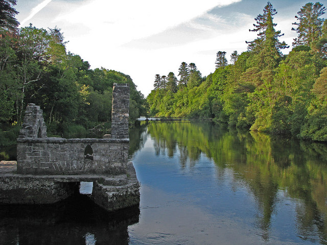 River WoodWood · 1.7 mi
 Michael DavittMemorial · 3.9 mi
 Battle of CastlebarMajor battlefield · 4.4 mi
 FarbreigaMountain / peak · 4.4 mi