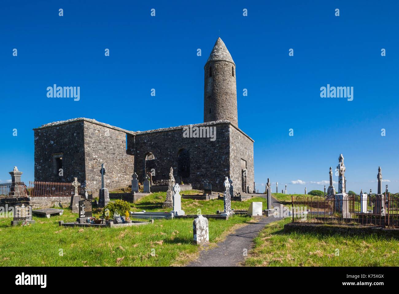
What is recorded here
In pasture, located on a low N−S spine of elevated ground. This enclosure is not indicated on any edition of the OS 6-inch maps. It consists of a low, D-shaped platform (c. 36m NNE-SSW; c. 43m WNW−ESE) defined on the curving side by a broadly sloping, levelled scarp. It is bordered on straight side to N by a property fence/hedgerow. There is no surface evidence that the enclosure extends to N of the fence.
Compiled by: Jane O'Shaughnessy
Date of upload: 13 September 2018
This monument is subject to a preservation order made under the National Monuments Acts 1930 to 2014 (PO no. 2/2001).
The monument record does not grant public access. Check the route and ask the landowner before entering private land.
- What survives
- Recorded monument
Places near here
 Holy WellHoly well · 219 yd
 Abbey in RuinsReligious house, unclassified · 325 yd
 TowerRound tower · 339 yd
 bridgebridge · 577 yd
 CastleCastle, unclassified · 758 yd
 National Museum of Ireland, Country LifeMuseum · 809 yd
 Sunken GardenWood · 991 yd
 Oak WoodWood · 1074 yd
 Castle in RuinsCastle, unclassified · 1.5 mi
 Michael DavittMemorial · 3.8 mi
 Battle of CastlebarMajor battlefield · 4.3 mi
 Saint John Baptist de La SalleMemorial · 4.4 mi
Other information
Photo: Credit not shown in the picture search · Rights wording not checked; contact us if this picture should be removed