What is recorded here
On a gentle W and SW-facing slope. This is an early ecclesiastical site. Traditionally St Barry commenced the building of a church (RO030-004002-) here, but moved to Kilbarry (RO024-016001-) c. 4 km to the NE. It is described by J. O'Donovan c. 1837 (O'Flanagan 1931, vol. 2, 64) as a large circular cashel or caldragh (burial ground) and it is depicted as a subcircular enclosure (dims c. 115m NE-SW; c. 90m NW-SE) on the 1837 ed. of the OS 6-inch map with the church as a rectangular area (dims c. 30m x c. 20m) on its perimeter at S. It is now a circular grass-covered area (diam. 107m NW-SE) defined by a scarp (at NW: Wth 1.8m; H 0.3m; at SE: Wth 3m; H 0.3m) which is incorporated into a hedge SE-W. The interior is overlain by two NW-SE field banks and hedges placed c. 20m apart just NE of the centre. There is no evidence of a church, but the holy well (RO030-005----) is c. 180m to the E.
Compiled by: Michael Moore
Date of upload: 24 August 2010
The monument record does not grant public access. Check the route and ask the landowner before entering private land.
- What survives
- Recorded monument
Places near here
 St Barrys ChurchChurch · 55 yd
 Penitential station in Cloonmore (ballintober North By.)Penitential station · 230 yd
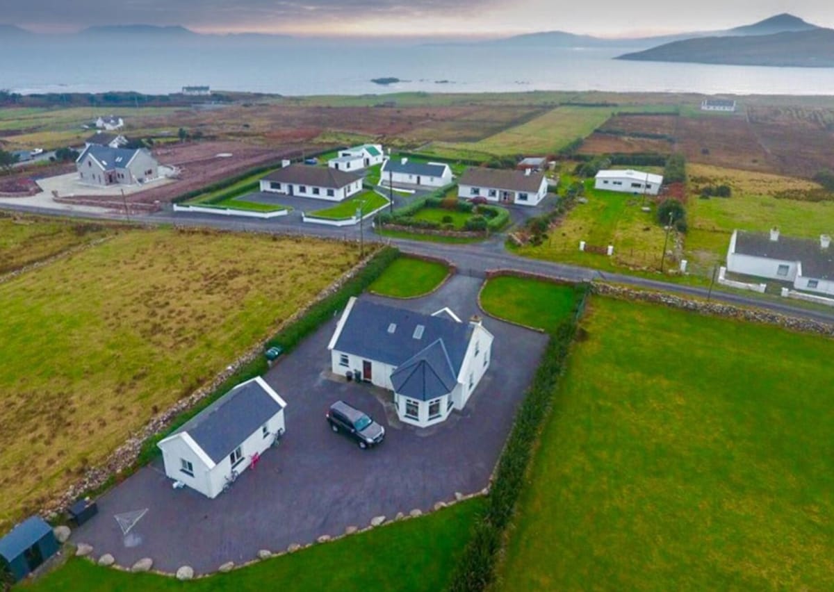 IndicatedFairy fort / earthen ringfort · 1556 yd
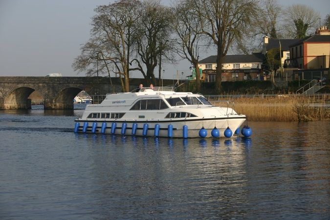 St Barrys BoatRitual site, holy/saint's stone (present location) · 1.3 mi
 St. Barry's WellSpring · 2.4 mi
 Long IslandIslet · 2.8 mi
 CastleCastle, unclassified · 4.0 mi
 Bawn in Castleforbes DemesneBawn · 4.2 mi
 Lebanon CedarLebanon Cedar · 4.2 mi
 Rabbit IslandIslet · 4.3 mi
 Pedunculate OakPedunculate Oak · 4.5 mi
 Slieve BawnMountain / peak · 5.7 mi