What is recorded here
In pasture, on slightly raised ground. Not marked on the 1838 edition of the OS 6-inch map. It's depiction on the 1914 edition is similar to that used to indicate quarries. This feature was described during a previous inspection in 1992 as a possible enclosure or quarry (diam. 12m N-S) (SMR (1989) file). The cartographic evidence clearly indicates that this is quarry feature. No trace of this was found on a subsequent visit in 2002. There is a mound-barrow (SL034-007----) c. 100m to SSE.
Compiled by: Archaeological Survey Unit, UCC with revisions by Patrick F. O'Donovan and Paul Walsh
Date of upload: 20 June 2011
The monument record does not grant public access. Check the route and ask the landowner before entering private land.
- What survives
- Recorded monument
Places near here
 Enclosure in CarrownagarkEnclosure · 221 yd
 Dooneen (Site of)Enclosure · 310 yd
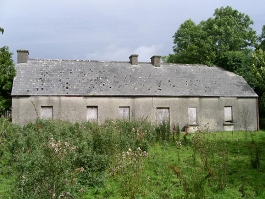 Cloonlurg Househouse · 1275 yd
 Behy Castle (in Ruins)Castle, tower house · 1310 yd
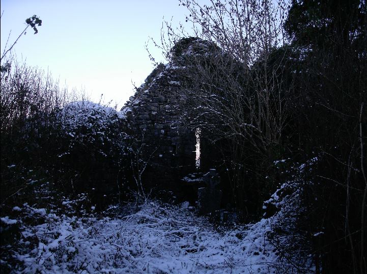 Church (in Ruins)Church · 1600 yd
 James MorrisonMemorial · 1.8 mi
 Riverstown Folk ParkHeritage attraction · 1.8 mi
 Castle Douglas (Site of)Castle, unclassified · 2.4 mi
 School CaveCave · 3.0 mi
 Kesh CorannMountain / peak · 3.4 mi
 Caves of KeshCave · 3.8 mi
 Brother WalfridMemorial · 3.8 mi