What is recorded here
In an area of poor-quality rock and scrubland at W foot of Cashel Hill, overlooking Cloonisle Bay to SW. An extensive series of dilapidated field walls laid out on a roughly NE-SW axis and covering an area c. 275m by 210m. Delimited at NW and SE ends by two enclosures (GA057-007001-, GA057-007003-).
The above description is derived from the published 'Archaeological Inventory of County Galway Vol. I - West Galway'. Compiled by Paul Gosling (Dublin: Stationery Office, 1993).
Date of upload: 05 August 2010
The monument record does not grant public access. Check the route and ask the landowner before entering private land.
- What survives
- Recorded monument
Places near here
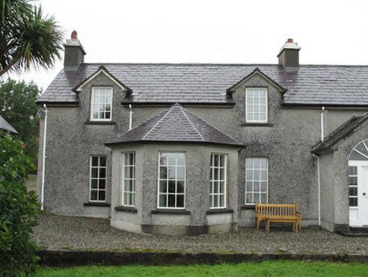 Doon Househouse · 1230 yd
 boathouseboathouse · 1394 yd
 Cashel HillMountain / peak · 1426 yd
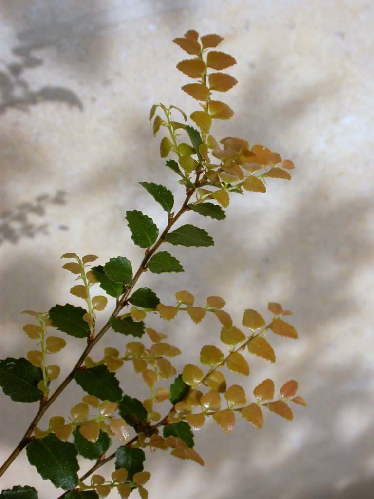 Myrtle beechMyrtle beech · 1616 yd
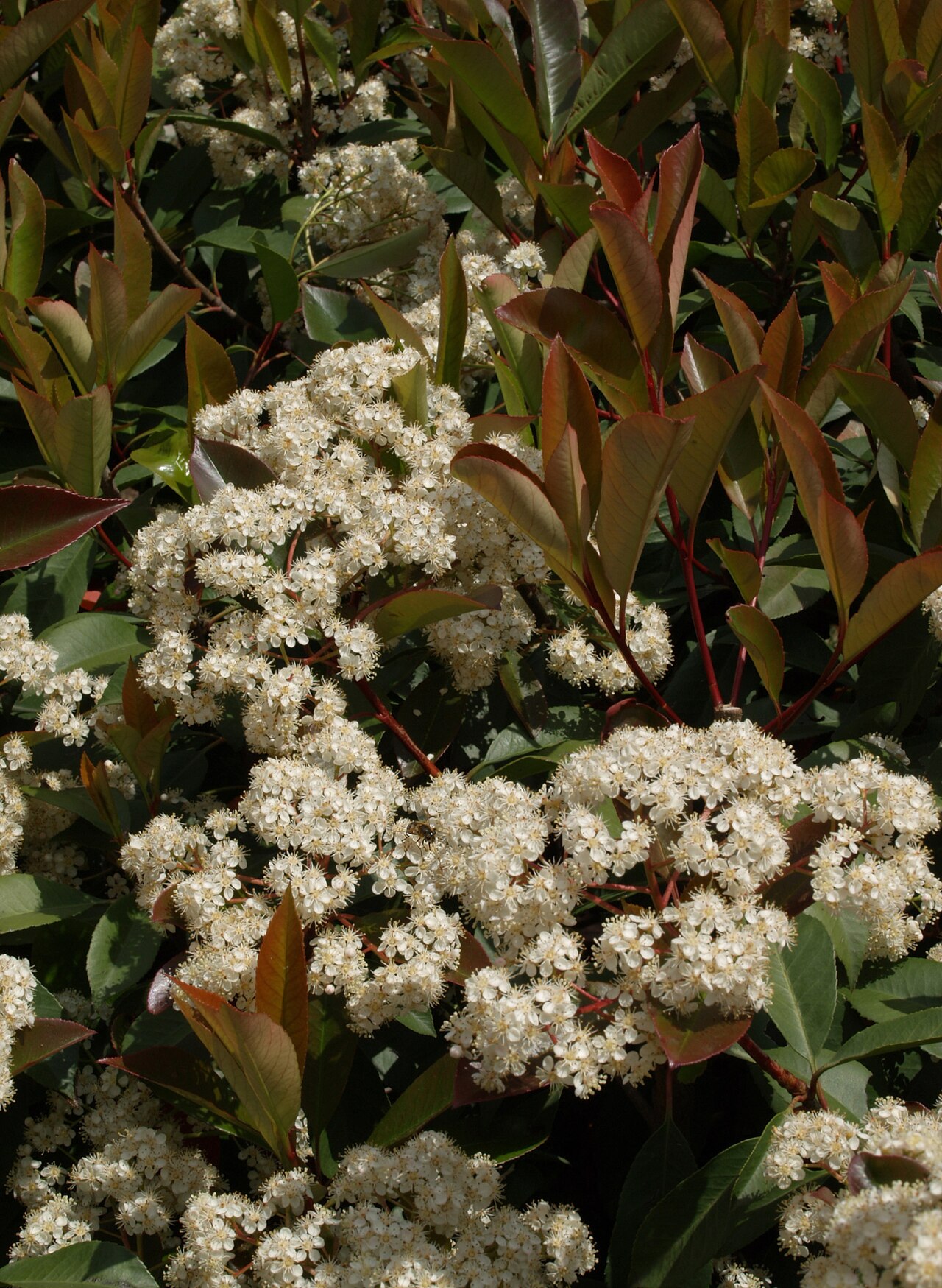 Chinese photiniaChinese photinia · 1648 yd
 Cashel FortEnclosure · 1.3 mi
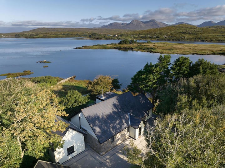 ToberconnelHoly well · 1.3 mi
 Oileán CruachnaiteIslet · 2.1 mi
 An tOileán Gorm ThuaidhIslet · 2.2 mi
 Lettershinna HillMountain / peak · 2.7 mi
 Roundstone Bay & Island ToursHeritage attraction · 4.4 mi
 Alexander NimmoMemorial · 4.4 mi