
What is recorded here
On E shoulder of Cashel Hill. Known locally as Caiseal Árd, this is a poorly preserved circular earthen enclosure (D 27m) defined by two banks and an intervening fosse. The inner bank is present from S through W to NE; elsewhere a scarp exists. The outer bank, which is revetted with stone, is overlain by a field wall from E to S and has been removed from W to N. The interior contains a graveyard (GA051-002001-), marked 'Burying Ground' on 1st and 2nd (1899) eds. of OS 6-inch map, and a rectangular stone-built leacht (L 1.5m, Wth 1.4m, H 0.45m). A holy well (GA051-003----) lies to NE . Though its morphology resembles that of a ringfort, its association with the well and burial ground suggests that it may be an ecclesiastical enclosure. (Robinson 1985, 7; Killanin 1954, 102; Killanin and Duignan 1967, 103)
The above description is derived from the published 'Archaeological Inventory of County Galway Vol. I - West Galway'. Compiled by Paul Gosling (Dublin: Stationery Office, 1993).
Date of upload: 05 August 2010
This remains an important historical record, but the official description says the monument is no longer visible or has been destroyed. The monument record does not grant public access. Check the route and ask the landowner before entering private land.
- What survives
- No visible remains or recorded as destroyed
Places near here
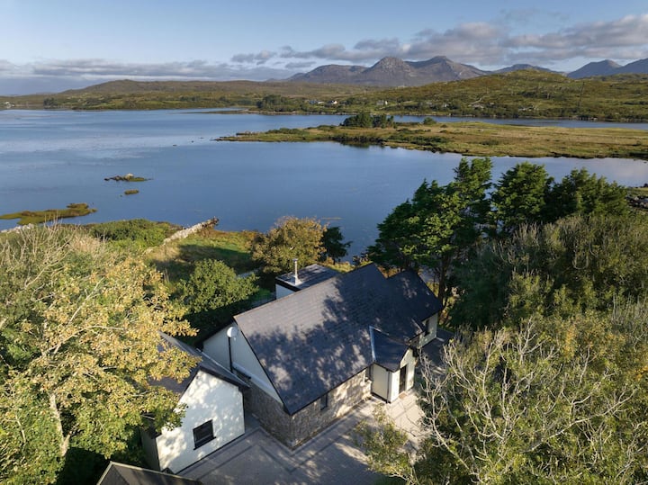 ToberconnelHoly well · 70 yd
 Mass-rock in Cashel (ballynahinch By.)Mass-rock · 693 yd
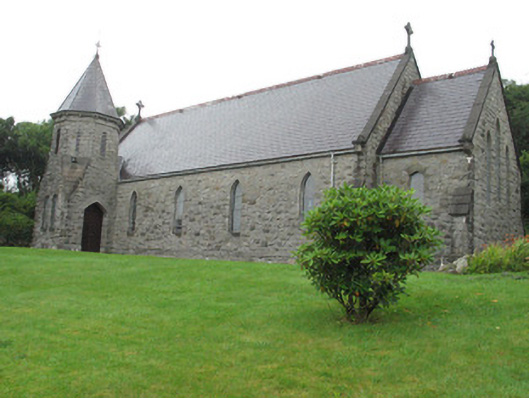 Saint James's Catholic Churchchurch/chapel · 726 yd
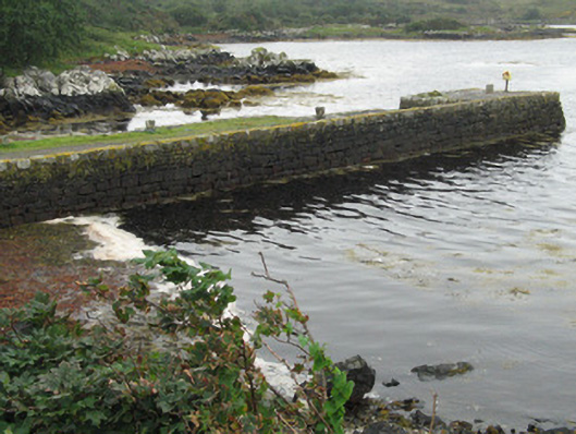 pier/jettypier/jetty · 896 yd
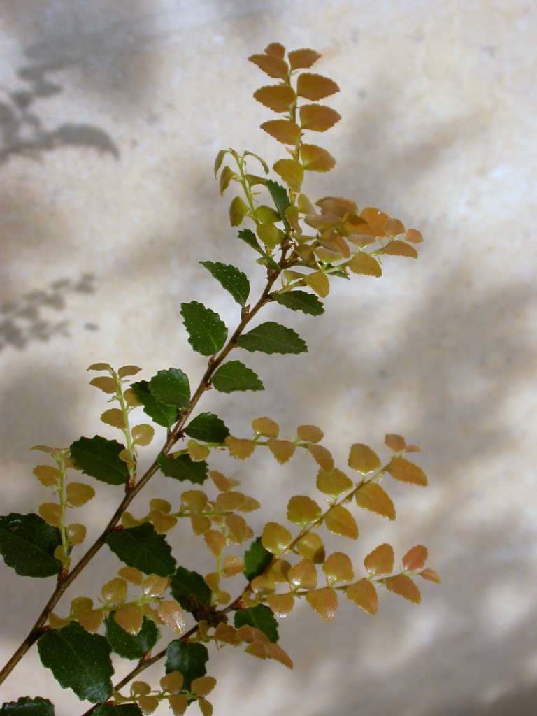 Myrtle beechMyrtle beech · 956 yd
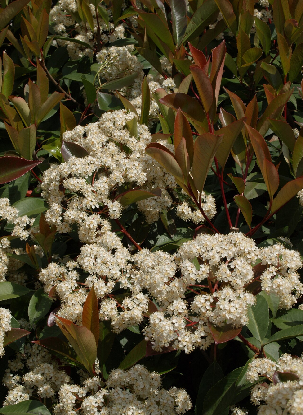 Chinese photiniaChinese photinia · 960 yd
 Cashel HillMountain / peak · 1080 yd
 Lettershinna HillMountain / peak · 1.5 mi
 Oileán CruachnaiteIslet · 1.8 mi
 CruachnaitIslet · 2.3 mi
 Ring fortHeritage attraction · 6.1 mi
 Connemara Heritage and History CentreMuseum · 6.2 mi
Other information
Photo: Credit not shown in the picture search · Rights wording not checked; contact us if this picture should be removed