What is recorded here
At NW limits of a field system (GA051-007----). Poorly preserved subcircular enclosure (E-W 23.2m, N-S 20.8m) defined by a line of single boulders. Traces of an internal division exist, also constructed of boulders.
The above description is derived from the published 'Archaeological Inventory of County Galway Vol. I - West Galway'. Compiled by Paul Gosling (Dublin: Stationery Office, 1993).
Date of upload: 05 August 2010
The monument record does not grant public access. Check the route and ask the landowner before entering private land.
- What survives
- Recorded monument
Places near here
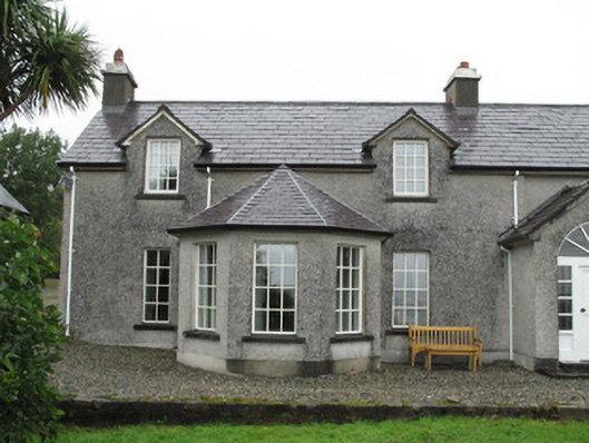 Doon Househouse · 1365 yd
 boathouseboathouse · 1524 yd
 Cashel HillMountain / peak · 1559 yd
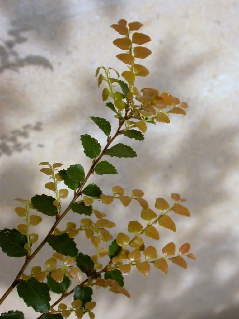 Myrtle beechMyrtle beech · 1.0 mi
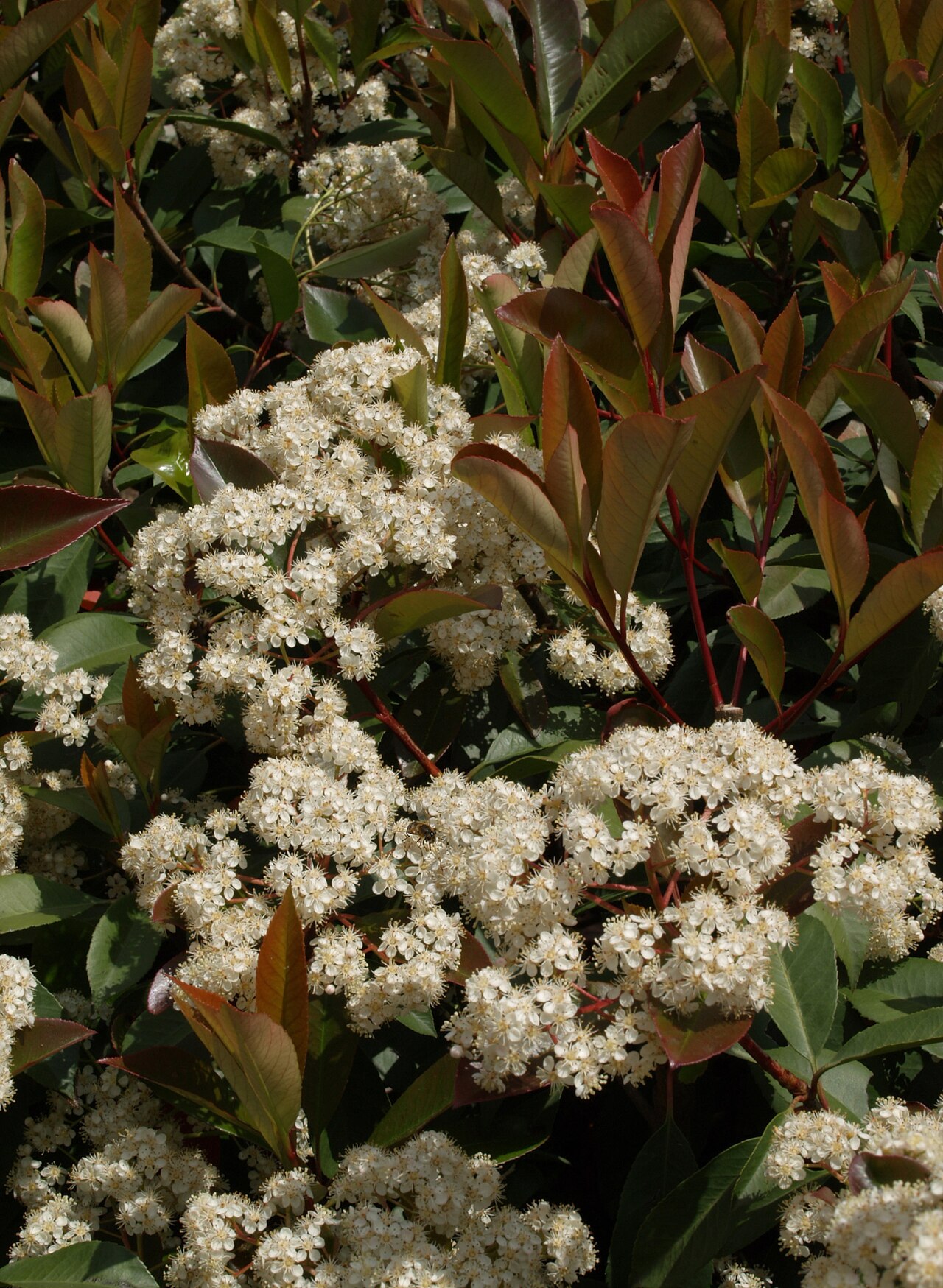 Chinese photiniaChinese photinia · 1.0 mi
 Cashel FortEnclosure · 1.3 mi
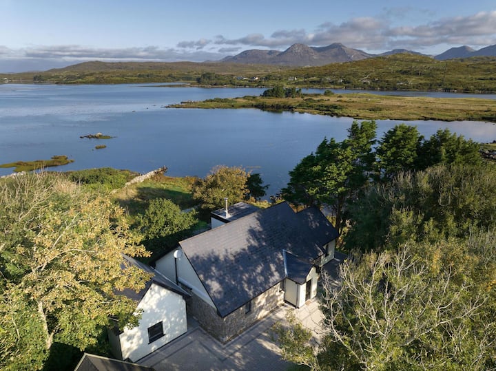 ToberconnelHoly well · 1.4 mi
 Oileán CruachnaiteIslet · 2.2 mi
 An tOileán Gorm ThuaidhIslet · 2.3 mi
 Lettershinna HillMountain / peak · 2.8 mi
 Roundstone Bay & Island ToursHeritage attraction · 4.3 mi
 Alexander NimmoMemorial · 4.4 mi