What is recorded here
Situated in a depression in hazel wood. Listed as ‘Enclosure’ in the SMR (1992) and the RMP (1996) and indicated on T. Robinson’s map of the Burren (1977). On inspection in 1997 this was found to be an irregular enclosure (diam. c. 36m N-S; c. 48m E-W) defined by cliffs (H c. 3m) at E and S and by a grass-covered stone spread (Wth c. 3-4m; max. H 1m) at W and N. There is no stone facing or entrance feature.
Compiled by: Mary Tunney
Date of upload: 9 March 2016
The monument record does not grant public access. Check the route and ask the landowner before entering private land.
- What survives
- Recorded monument
Places near here
 Dermot & Grania's BedArchaeological place · 212 yd
 CaherscreebeenFairy fort / stone ringfort · 592 yd
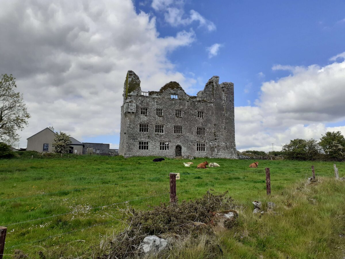
 Leamaneh CastleCastle · 846 yd
 Leamaneh Castle (in ruins)House, fortified house · 847 yd
 Fergus River CaveCave · 1.7 mi
 Carran Church (in ruins)Church · 1.9 mi
 Templeline (in ruins)Church · 1.9 mi
 Farbrega RockNamed rock · 2.0 mi
 Burren Centre KilfenoraVisitor information · 3.1 mi
 High CrossHeritage attraction · 3.1 mi
 Cave of the Wild HorsesCave · 3.1 mi
 CaherconnellHeritage attraction · 3.3 mi