What is recorded here
This is listed as an 'enclosure' in the SMR (1989) based on cartographic evidence from the 1914 OS 6-inch map. The semicircular curving line indicated on that map is a wide, modern (i.e. constructed within the last couple of hundred years) drainage trench with a pathway beside and this appears to be the remains of a mill race that led to the 'Old Mill' indicated and named on the OS 1st ed. 6-inch map (surveyed 1837).
Compiled by: Archaeological Survey Unit, UCC.
Date of upload: 9 January 2014
The monument record does not grant public access. Check the route and ask the landowner before entering private land.
- What survives
- Recorded monument
Places near here
 Carrowmore National Schoolschool · 1522 yd
 IndicatedFairy fort / stone ringfort · 1553 yd
 Hachured (1838).Fairy fort / earthen ringfort · 1.1 mi
 KnocknasheeMountain / peak · 1.4 mi
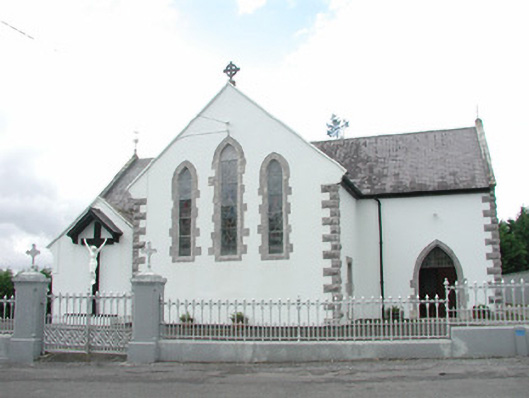 Catholic Church of the Sacred Heartchurch/chapel · 1.4 mi
 Muckelty HillMountain / peak · 2.7 mi
 CastleCastle, unclassified · 2.9 mi
 The Turf Stack RockNamed rock · 3.6 mi
 European ashEuropean ash · 4.8 mi
 Tawnyart WoodWood · 4.9 mi
 Ballyara Castle (in Ruins)Castle, unclassified · 5.0 mi
 White RockNamed rock · 5.6 mi