What is recorded here
Marked on the 1837 and 1914 eds. of the OS 6-inch map as an oval wooded feature (dims. c. 50m NW-SE; c. 25m NE-SW), and situated on top of a prominent drumlin. Oval grass and scrub-covered platform (dims. c. 55m NW-SE; 29.5m NE-SW) defined by a scarp (H 0.3-1m) with traces of a bank (Wth c. 2.5m; int. H 0.1-0.3m) on the perimeter. It is planted with mature deciduous trees.
Compiled by: Michael Moore
Date of upload: 24 August 2010
The monument record does not grant public access. Check the route and ask the landowner before entering private land.
- What survives
- Recorded monument
Places near here
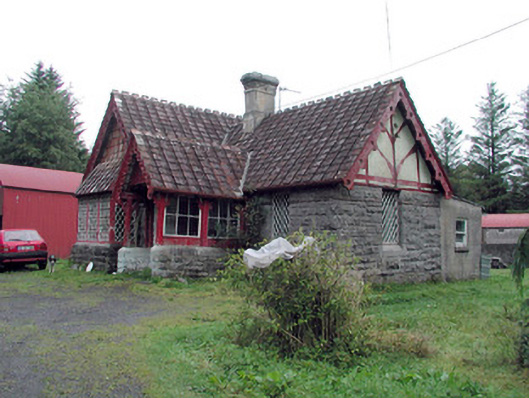 Kilronan Castlegate lodge · 535 yd
 Green IslandIslet · 671 yd
 Annagh WoodForest · 834 yd
 indicatedFairy fort / earthen ringfort · 866 yd
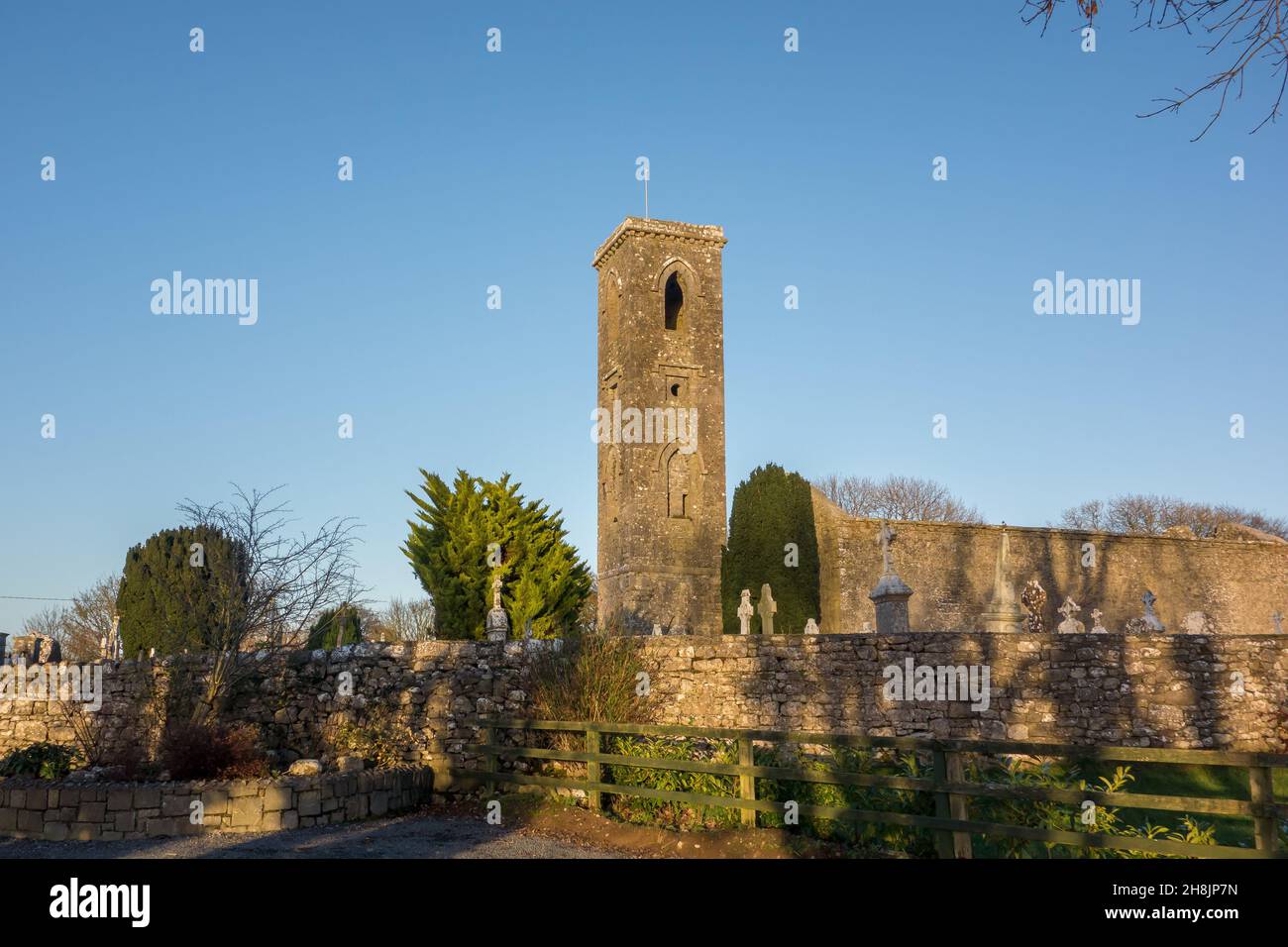 Site of |Tobar BrideHoly well · 1060 yd
 Roundhouse Hill WoodForest · 1281 yd
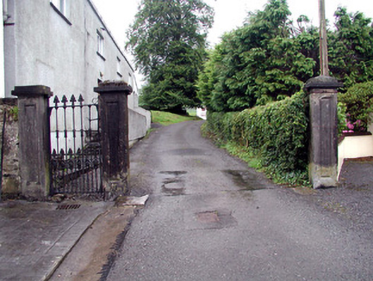 Alderford Housegates/railings/walls · 1759 yd
 Stony IslandIslet · 1.0 mi
 Josie McDermott MemorialMemorial · 1.0 mi
 Turlough O'CarolanMemorial · 2.6 mi
 Kilronan MountainMountain / peak · 2.7 mi
 Arigna Mining ExperienceMuseum · 3.6 mi