What is recorded here
On a height, in karst, surrounded by reclaimed pasture. Square-shaped area (25.5m N-S; 26.5m E-W), enclosed by remains of stone wall (Wth 2.5m; H 0.3m), levelled on W. Much outcrop in interior.
The above description has been derived from D. Lavelle (compiler), An Archaeological Survey of Ballinrobe and District including Lough Mask and Lough Carra. Lough Mask and Lough Carra Tourist Development Association (1994), No. 270.
Date of upload: 5 November 2013
The monument record does not grant public access. Check the route and ask the landowner before entering private land.
- What survives
- Recorded monument
Places near here
 IndicatedFairy fort / stone ringfort · 1053 yd
 Castle in ruinsCastle, unclassified · 1077 yd
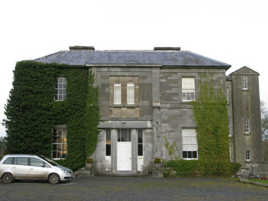 Curraghmorecountry house · 1365 yd
 Church in ruinsChurch · 1470 yd
 Carrigeen ShangormanIslet · 1.1 mi
 Long IslandIslet · 1.1 mi
 Ecclesiastical enclosure in Kilkeeran (kilmaine By., Ballinrobe Par.)Ecclesiastical enclosure · 1.1 mi
 LabbadermotCave · 1.4 mi
 CastleCastle, unclassified · 2.1 mi
 Black RocksNamed rock · 2.2 mi
 European ashEuropean ash · 2.2 mi
 Devenish RocksNamed rock · 2.3 mi