What is recorded here
Indicated is a low earthen ringfort on a Mayo rise, its oval bank slipping slightly at the southwest while gaps remain at the north and east. It sits close to a farm track and pasture, with a quarry cut into the hillside beside it, as if the land kept giving up material long after the fort was shaped. The measure is small enough to walk around in a minute, yet the completed circle still stands out on the rise above Cloonagh Lough.
In pasture, located on a rise, c. 350m to NE of Cloonagh Lough.
Raised oval area (29.5m NNE–SSW; 22m WNW–ESE) defined by an earthen bank (Wth 2.6m at NE, c. 4m at SW; int. H 0.4m at NW, 0.3m at SW; ext. H 1.3m at NW, 1.6m at SW). The bank is generally low and uniform in size, but at SW it has a broadly slumped external slope. The interior is level, but with a slight slope down to NE in the NE quadrant. There is a low area or gap (Wth 1.6m) in the bank at E and another (Wth 1.2) at N.
A post and wire fence extends through the SE side of the interior. A farm track lies close to the SW side of the rath. A quarry pit (c. 12m N–S; c. 8m E–W) has been dug into the W slope of the rise on which the rath is located.
Grass cover, with beech and ash trees on the perimeter.
Compiled by: Jane O’Shaughnessy
Date of upload: 13 April 2018
The monument record does not grant public access. Check the route and ask the landowner before entering private land.
- What survives
- Recorded monument
Places near here
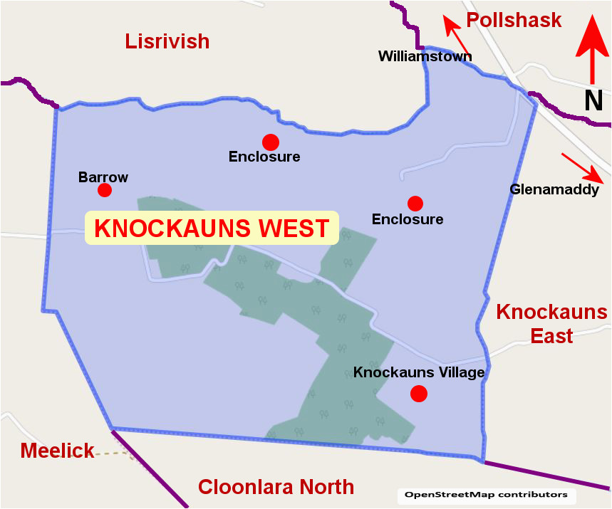 IndicatedEnclosure · 397 yd
 Enclosure in CroftonparkEnclosure · 1578 yd
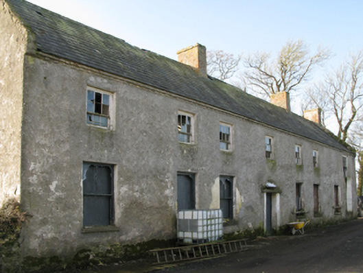 Croftonpark Housefarm house · 1742 yd
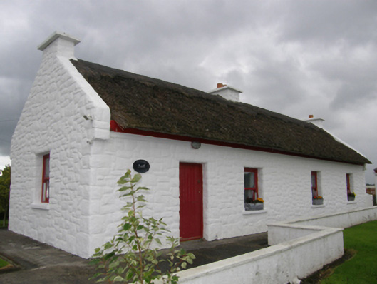 Kelly's Cottagehouse · 1.0 mi
 CastleCastle, unclassified · 1.2 mi
 Battle of Ballinabattle · 2.3 mi
 Belleek WoodsWood · 2.6 mi
 Deel CastleCastle · 2.7 miHumbert MonumentMemorial · 2.7 mi
 FloretteWreck · 2.8 mi
 Rinphilip PointHeadland · 2.9 mi
 Gortabradawn PointHeadland · 4.2 mi