What is recorded here
Indicated is a fairy fort on a Mayo ridge, its low bank still drawing a clear circle above the grass. The land drops sharply west of the path while easing east toward Cloonagh Lough, making the ring a sudden command in open sky. Cattle may have grazed it for centuries, yet the shape resisted every plough and remains a room without walls, large enough for a hundred people to stand inside the dark.
In pasture, located on the top of a N–S ridge, close to the S end of the ridge. There is a steep fall of ground on the W side of the ridge, and a more gradual slope on the E side. The ridge provides panoramic views of the surrounding rolling grassland, an expanse of bog to S, and an area of marshy ground on the shores of Cloonagh Lough, which lies c. 200m to N.
Slightly raised, roughly circular area (36m N–S; 34m E–W) defined by a low bank (Wth 2.7m; int. H 0.35m; ext. H 0.9m, at N). The bank retains a low internal lip at N and S, but elsewhere is mainly reduced to a scarp. At S a line of small stones protruding from the sod appears to mark the inner edge of the bank. There is a slightly raised area to W of centre in the interior, and a slight slope to E and SE from the centre.
Grass cover, with hawthorn trees around the perimeter.
Compiled by: Jane O’Shaughnessy
Date of upload: 13 April 2018
The monument record does not grant public access. Check the route and ask the landowner before entering private land.
- What survives
- Recorded monument
Places near here
 IndicatedEnclosure · 345 yd
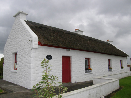 Kelly's Cottagehouse · 1426 yd
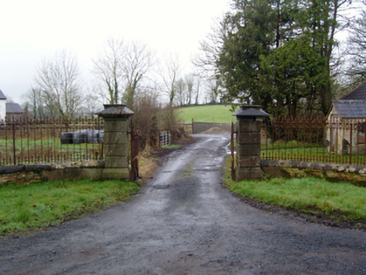 Rappa Castlegates/railings/walls · 1494 yd
 Enclosure in CroftonparkEnclosure · 1732 yd
 Battle of Ballinabattle · 2.2 mi
 Deel CastleCastle · 2.2 mi
 CastleCastle, tower house · 2.4 miHumbert MonumentMemorial · 2.6 mi
 Belleek WoodsWood · 2.7 mi
 FloretteWreck · 3.0 mi
 Rinphilip PointHeadland · 3.2 mi
 Gortabradawn PointHeadland · 4.6 mi