What is recorded here
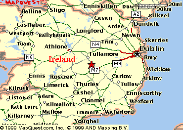
In pasture, located on a low N–S ridge, at the break of slope on the W side, with good but not extensive views. Overlooked by higher ground to NE. There is a rath (MA030-026----) on top of a parallel ridge c. 250m to W.
Shown on the 1837 as a rectangular embanked enclosure, and indicated on the 3rd ed. OS 6-inch map (1930) as a rectangular enclosure (c. 35-40m WNW–ESE; c. 30-35m NNE–SSW) incorporated into a field boundary on the NNE side. Levelled during land reclamation in the early 1990’s. No visible remains at ground level.
Compiled by: Jane O’Shaughnessy
Date of upload: 13 April 2018
A local fairy fort (ringfort/rath); wider significance not recorded.
The monument record does not grant public access. Check the route and ask the landowner before entering private land.
- What survives
- Recorded monument
Places near here
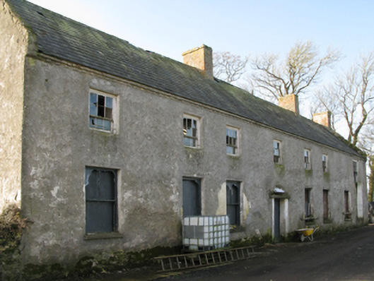 Croftonpark Housefarm house · 1331 yd
 Enclosure in CroftonparkEnclosure · 1403 yd
 Rucklagh FortFairy fort / earthen ringfort · 1640 yd
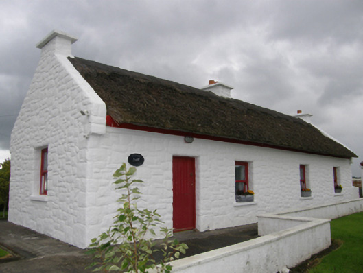 Kelly's Cottagehouse · 1.0 mi
 CastleCastle, unclassified · 1.0 mi
 Battle of Ballinabattle · 2.0 mi
 Deel CastleCastle · 2.4 miHumbert MonumentMemorial · 2.4 mi
 Belleek WoodsWood · 2.5 mi
 FloretteWreck · 2.8 mi
 Rinphilip PointHeadland · 3.1 mi
 Gortabradawn PointHeadland · 4.6 mi
Other information
Photo: Credit not shown in the picture search · Rights wording not checked; contact us if this picture should be removed