
What is recorded here
Situated on a natural rise of ground on the landscaped demesne lands of Clonyn House located 650m to the NNW. This earthwork is depicted as a grove of trees standing E of the main avenue leading up to Clonyn House on the 1913 ed. OS 25-inch map. A possible ringfort (WM013-032----) lies 125m to the E and a second possible ringfort (WM013-033----) is 95m to the SSE. Possible ringfort that was re-used as a tree-ring as part of the landscaping of Clonyn House demesne.
Remains consist of a roughly circular-shaped area (approx. diam. 29m N-S; 23m E-W) enclosed by an earthen bank and narrow external fosse. Cultivation ridges aligned NNE-SSW are visible running across the interior of the monument. It is not clear if all three earthworks (WM013-032-/033----) are the remains of ringforts that were converted into tree-rings as part of the landscaping of Clonyn House demesne or whether they were built as tree-rings in the post-1700 period.
Compiled by: Caimin O'Brien with details provided by Melanie McQuade, Westmeath Heritage Officer
Date of upload: 2 August 2017
The monument record does not grant public access. Check the route and ask the landowner before entering private land.
- What survives
- Recorded monument
Places near here
 IndicatedFairy fort / earthen ringfort · 158 yd
 Enclosure in ClonynEnclosure · 240 yd
 Clonyn HouseRuins · 752 yd
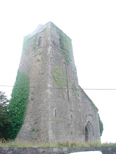 Saint Mary's Church (Castletowndelvin)church/chapel · 834 yd
 CastleCastle, tower house · 897 yd
 Martinstown Castle in RuinsCastle, tower house · 1.4 mi
 GinkgoGinkgo · 3.4 mi
 The FurzeForest · 3.7 mi
 The Sloe HillMountain / peak · 5.2 mi
 Slieve GullionMountain / peak · 6.9 mi
 South East GateHeritage attraction · 7.0 mi
 Zip WireHeritage attraction · 8.9 mi
Other information
Photo: Credit not shown in the picture search · Rights wording not checked; contact us if this picture should be removed