
What is recorded here
On flat poorly drained flood plains of the Clodiagh River which is located immediately to the E. A raised D-shaped platform (dim. 36m N-S) with a straight side at N (L 34m E-W) defined by a scarp (H 0.5-1m) and a wide flat-bottomed, waterlogged fosse (Wth 3-4m; ext. D 0.4m) with the possible remains of an external bank (Wth 2m; ext. H 0.3m) visible from S to SW only. Several field drains run off the fosse at N, S and W.
Compiled by: Jean Farrelly
Date of upload: 26 August 2011
The monument record does not grant public access. Check the route and ask the landowner before entering private land.
- What survives
- Recorded monument
Places near here
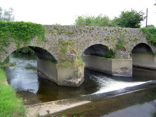 Rathkennan Bridgebridge · 559 yd
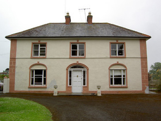 Knockaderry Househouse · 836 yd
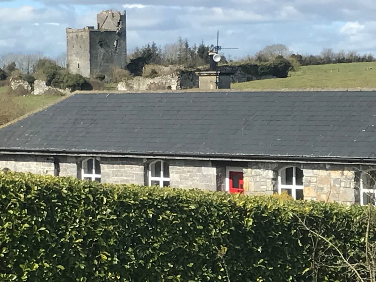 Bawn in Clonyharp (clogher Par.)Bawn · 984 yd
 RathkennanCastle, motte and bailey · 1175 yd
 Druids AltarMegalithic structure · 1237 yd
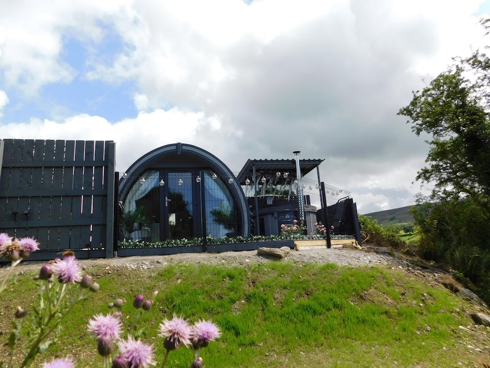 Enclosure in ClogherEnclosure · 1282 yd
 Clonoulty HillMountain / peak · 1.9 mi
 Drum WoodWood · 2.5 mi
 Cormackstown Heritage CentreMuseum · 3.5 mi
 Killough Hill (site of)Mountain / peak · 4.0 mi
 Wildlife CorridorWood · 5.6 mi
 Lár na PáirceMuseum · 6.1 mi
Other information
Photo: Credit not shown in the picture search · Rights wording not checked; contact us if this picture should be removed