
What is recorded here
Located on the S facing slope of a high glacial knoll in undulating countryside. Poorly preserved ringfort which has its W half destroyed by quarrying of the glacial knoll. Originally the site appears to have consisted of a circular area (diam 27.5m N-S) enclosed by an earth and stone bank (Wth 1.5m; int. H 0.5m; ext. H 1.7m) with no evidence of an outer fosse. This monument is depicted as a large circular enclosure on the first edition of the OS 6-inch map. On the current edition of the OS 6-inch map a gravel quarry is indicated in the field to the W of the enclosure. This enclosure is not indicated on the current edition of the OS 6-inch map. The monument was probably levelled between the two editions of the 6-inch maps.
The above description is derived from the published 'Archaeological Inventory of County Offaly' (Dublin: Stationery Office, 1997). In certain instances the entries have been revised and updated in the light of recent research.
Date of upload: 16 Augsut 2010
The monument record does not grant public access. Check the route and ask the landowner before entering private land.
- What survives
- Recorded monument
Places near here
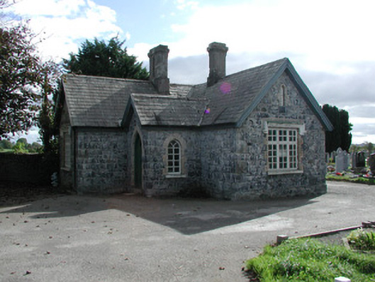 Clonoghill Cemeterygraveyard/cemetery · 364 yd
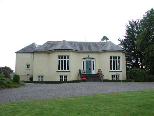 Williamsbrookcountry house · 449 yd
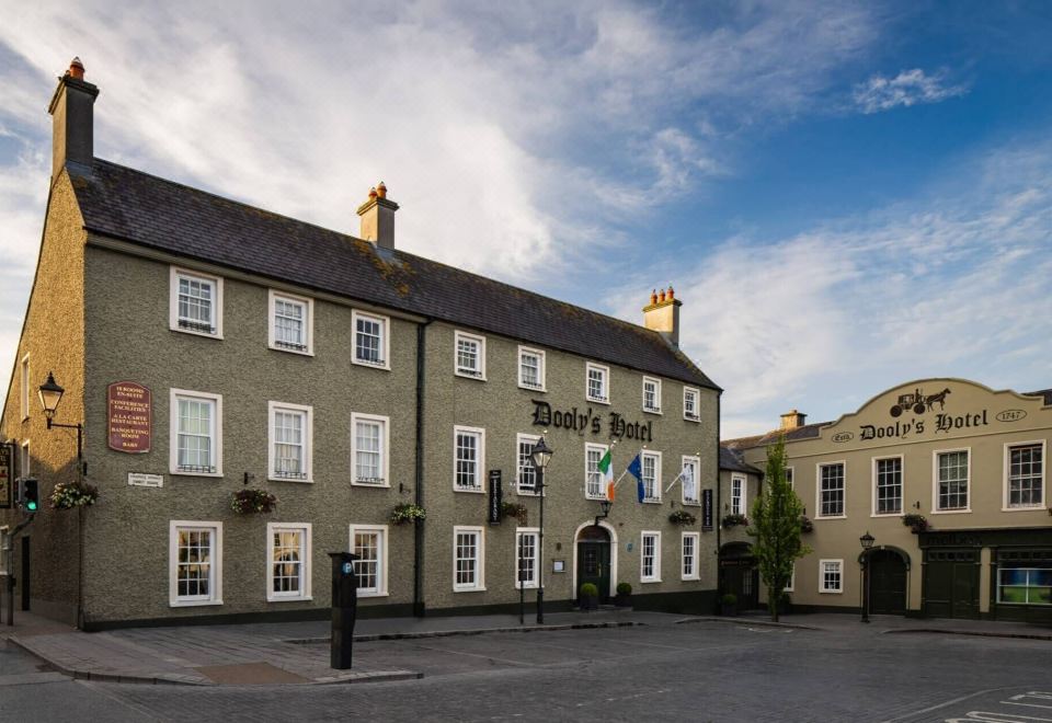 Bawn in Clonoghil UpperBawn · 1019 yd
 River WalkWalking route · 1512 yd
 Town defences in Townparks (ballybrit By.)Town defences · 1.1 mi
 Birr Heritage CentreMuseum · 1.1 mi
 Oriental planeOriental plane · 1.1 mi
 Emmet SquareMonument · 1.1 mi
 Waterfall PointViewpoint · 1.2 mi
 James Franklin FullerMemorial · 1.3 mi
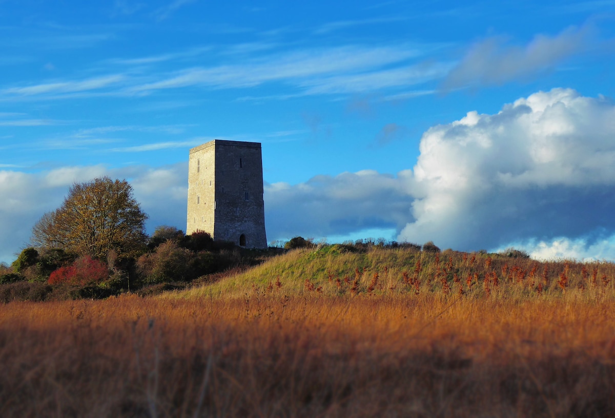 Black Castle (Site of)Castle, motte · 1.3 mi
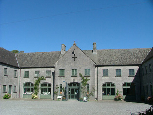 Birr Castlestables · 1.3 mi
Other information
Photo: Credit not shown in the picture search · Rights wording not checked; contact us if this picture should be removed