
What is recorded here
This is a large circular feld boundary defined by a dry stone wall enclosing a large circular area as shown on OS 6-inch maps. The field boundary encloses the base of a hillock going around the hillock and forming a large circular enclosure. On the first edition of the OS 6-inch map there is a larger outer enclosure depicted. If both enclosures are contemporary this would be the site of a large hilltop enclosure or concentric enclosure possible. Unsure about the antiquity of this enclosure, may be just the remains of field boundaries of 17th or 18th century date.
The above description is derived from the published 'Archaeological Inventory of County Offaly' (Dublin: Stationery Office, 1997). In certain instances the entries have been revised and updated in the light of recent research.
Date of upload: 23 May 2011
The monument record does not grant public access. Check the route and ask the landowner before entering private land.
- What survives
- Recorded monument
Places near here
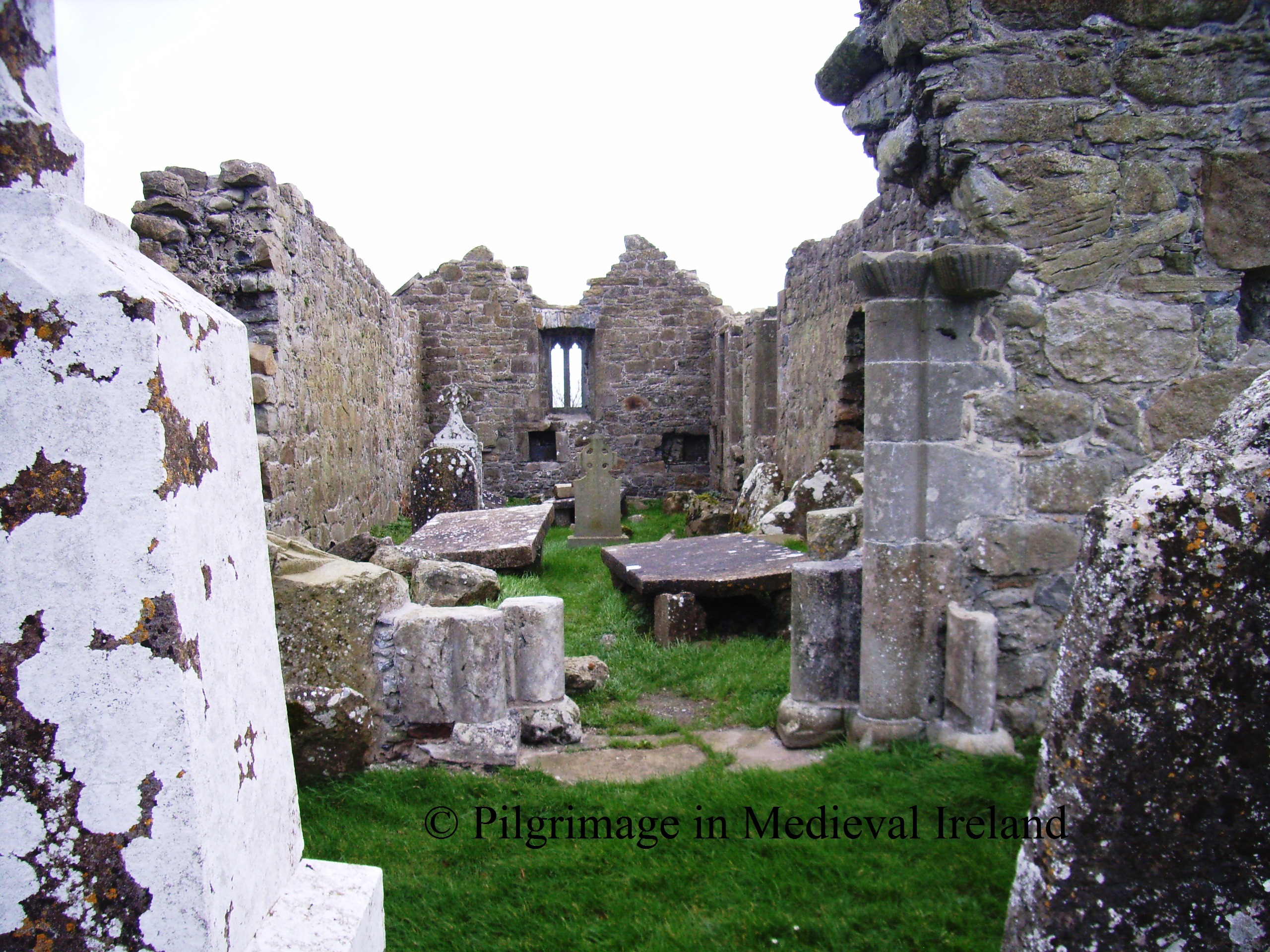 RelicpastiaChildren's burial ground · 770 yd
 Mullanakill Church (in Ruins)Church · 851 yd
 Enclosure in Clonlyon GlebeEnclosure · 863 yd
 Clonlyon CastleCastle, tower house · 927 yd
 Endrim HillMountain / peak · 1.6 mi
 Site of Faddanmore CastleCastle, unclassified · 2.0 mi
 Ballylin Bog BoardwalkHeritage attraction · 2.3 mi
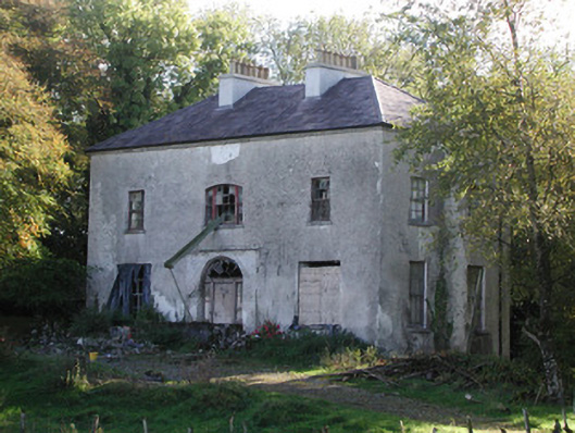 Killagally Parkrectory/glebe/vicarage/curate's house · 2.3 mi
 Saint Reaghan's WellSpring · 3.2 mi
 St. Saran's WellSpring · 4.2 mi
 Cloghan HillMountain / peak · 4.8 mi
 Graveyard in ClonmacnoiseGraveyard · 4.9 mi
Other information
Photo: Credit not shown in the picture search · Rights wording not checked; contact us if this picture should be removed