What is recorded here
At the E end of ‘Derryvullagh Island’ located near the centre of a large expanse of Bord Na Mona bog servicing the Killberry Moss Peat plant to the W. Shown on the 1st ed. (1839) of the OS 6-inch map as a large circular enclosure/field (est. diam. c. 90m) in contrast to the rectilinear field system on the rest of the island. The island is now heavily overgrown with hazel, ash and some oak trees, and has a dense undergrowth of briar and thorn. Apart from a broad curving drain (NNE-E-S) there is no clearly visible trace of an enclosing element.
Compiled by: Gearóid Conroy
Date of upload: 07 October 2013
A local fairy fort (ringfort/rath); wider significance not recorded.
The monument record does not grant public access. Check the route and ask the landowner before entering private land.
- What survives
- Recorded monument
Places near here
 Derryvullagh IslandForest · 175 yd
 Enclosure in RathconnellwoodEnclosure · 1.4 mi
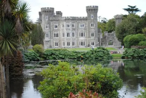 Enclosure in Oldcourt (bert Ed)Enclosure · 1.5 mi
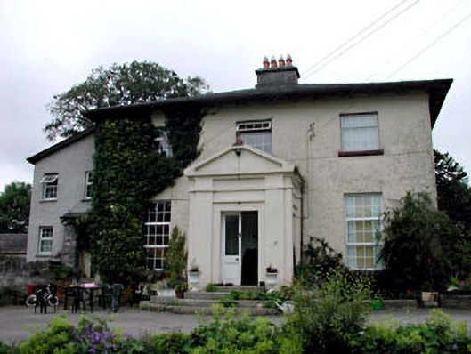 Skerries Housefarm house · 1.9 mi
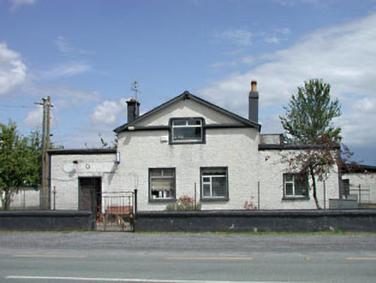 P. JonesRIC barracks · 2.2 mi
 IndicatedBawn · 2.3 mi
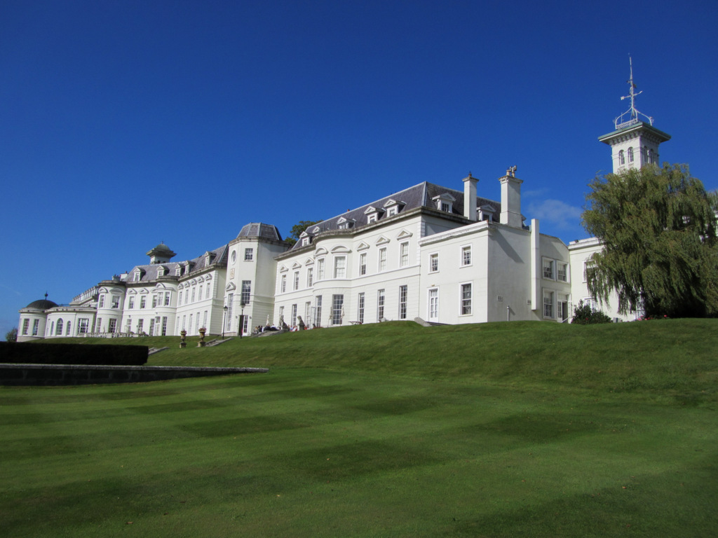 Cloney CastleCastle, unclassified · 2.8 mi
 European BeechEuropean Beech · 3.2 mi
 History of Moat of ArdscullVisitor information · 3.2 mi
 Gorden Bennet Race memorialMemorial · 3.2 mi
 Athy War MemorialMemorial · 4.1 mi
 Town HallMuseum · 4.2 mi