What is recorded here
Cloghreagh is a castle bawn on a low ridge in County Meath, where a rectangular ditch still marks the boundary of a forgotten household. The castle occupies the east angle while an eighteen-century building takes the southeast corner, suggesting the place adapted rather than disappeared. Someone lived inside that narrow rectangle, watched the ridge, and changed the boundary when times changed. The ditch remains shallow but clear, a line drawn around ordinary life.
It is situated on a low NW-SE ridge. The castle (ME003-015----) occupies the E angle of a rectangular enclosure or bawn (dims c. 30m NW-SE; c. 23m NE-SW) defined by a ditch or fosse (Wth 4-6m; D 0.6-1m) on all sides except the SE where an 18th century building occupies its location. The house (ME003-015002-) is inside the perimeter at SE.
The above description is derived from the published 'Archaeological Inventory of County Meath' (Dublin: Stationery Office, 1987). In certain instances the entries have been revised and updated in the light of recent research.
Date of upload: 10 July 2007
The monument record does not grant public access. Check the route and ask the landowner before entering private land.
- What survives
- Recorded monument
Places near here
 Cloghreagh Castle in RuinsCastle, unclassified · 22 yd
 Coogan FortFairy fort / earthen ringfort · 1576 yd
 Stone CrossCross · 1.2 mi
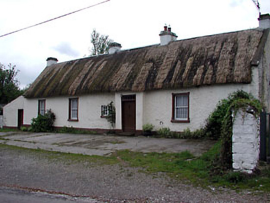 farm housefarm house · 1.7 mi
 Chruch in RuinsChurch · 1.8 mi
 Tree IslandWood · 2.0 mi
 Newstone Castle in RuinsCastle, tower house · 2.0 mi
 Drumran HillMountain / peak · 2.5 mi
 BarleyhillMountain / peak · 2.9 mi
 GNR Christmas TreesForest · 3.6 mi
 Nobber GreenwayMemorial · 3.8 mi
 Natural Play AreaMemorial · 4.2 mi