
What is recorded here
In pasture, on a SE-facing slope. Indicated on the 1914 OS 6-inch map as a circular enclosure with two deciduous trees in the interior. Described in 1994 as a circular area (int. diam. 20m N-S; 21.1m E-W) defined by remnants of a sod-covered stone wall (Wth 3.9m; int. H 0.4m; ext. H 0.2m) (SMR (1989) file). Subsequently further damage to the cashel has occurred. A field boundary wall now crosses the interior on a ENE-WSW axis, slightly S of centre and there are now no visible remains of the cashel at ground level on the S side of this wall, apart from an area of rough ground which extends 6m to S. On the N side of the wall a semicircular area (c. 15m N-S; c. 24m E-W) is defined by a low sod-covered rise (Wth c. 3m; ext. H 0.35m) WSW-NW and NE-ENE. Mature beech trees grow along both of these rises and stones are evident in places under the roots of the trees. A depression (Wth 1.5-2m; D 0.2m) on the internal side of the enclosing rise WSW-NW, terminating at its NW end in a large heap of stones, was possibly used to facilitate the recent removal of stones. The N two-thirds of the interior are level while the S third sloped down to SE. There is a Man-made underground passage (SL046-012002-) in the NW quadrant.
The above description is derived from the published 'Archaeological Inventory of County Sligo' compiled by Ursula Egan, Elizabeth Byrne, Mary Sleeman with Sheila Ronan and Connie Murphy (Dublin Stationery Office, 2005).
Date of upload: 18 January 2008
The monument record does not grant public access. Check the route and ask the landowner before entering private land.
- What survives
- Recorded monument
Places near here
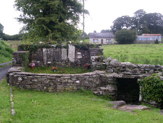 Saint Attracta's Wellholy well · 181 yd
 ToberaraghtHoly well · 182 yd
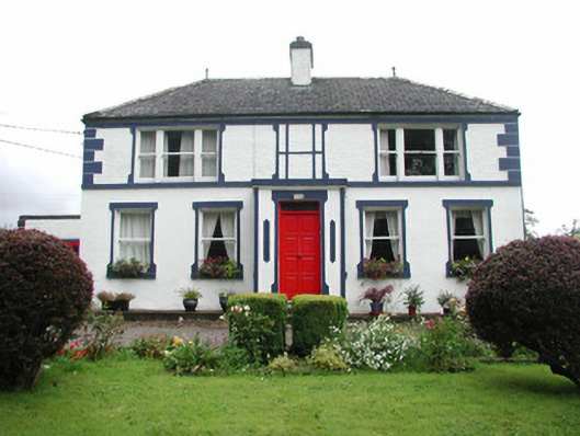 Welcome Hillgarda station/constabulary barracks · 211 yd
 IndicatedFairy fort / stone ringfort · 459 yd
 Moygara CastleCastle · 2.6 mi
 Moygara Castle (in Ruins)Bawn · 2.6 mi
 Crow IslandIslet · 2.8 mi
 Castle PointHeadland · 2.9 mi
 Rose PointHeadland · 3.0 mi
 Inch IslandIslet · 3.1 mi
 Bockagh HillMountain / peak · 4.0 mi
 Square WoodForest · 5.5 mi
Other information
Photo: Credit not shown in the picture search · Rights wording not checked; contact us if this picture should be removed