
What is recorded here
In pasture, near the top of a ridge overlooking Lough Gara. A circular area (int. diam. 24m N-S; 22.4m E-W) defined by a sod-covered flat-topped stone bank (Wth 3.9m; int. H 0.6m; ext. H 0.5m), removed along the N arc. A stone wall skirts the cashel along the E arc. The interior is uneven and slopes down to S. A limekiln was indicated on the 1838 OS 6-inch map a short distance outside the cashel wall at SSW.
The above description is derived from the published 'Archaeological Inventory of County Sligo' compiled by Ursula Egan, Elizabeth Byrne, Mary Sleeman with Sheila Ronan and Connie Murphy (Dublin Stationery Office, 2005).
Date of upload: 18 January 2008
The monument record does not grant public access. Check the route and ask the landowner before entering private land.
- What survives
- Recorded monument
Places near here
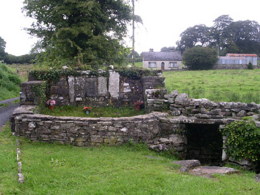 Saint Attracta's Wellholy well · 632 yd
 ToberaraghtHoly well · 633 yd
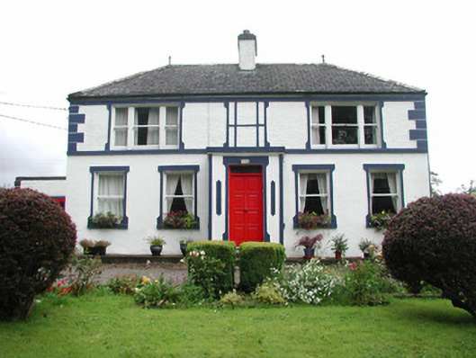 Welcome Hillgarda station/constabulary barracks · 645 yd
 CashelnamonastraghEcclesiastical enclosure · 759 yd
 Moygara CastleCastle · 2.5 mi
 Moygara Castle (in Ruins)Bawn · 2.5 mi
 Crow IslandIslet · 2.8 mi
 Castle PointHeadland · 3.0 mi
 Rose PointHeadland · 3.1 mi
 Inch IslandIslet · 3.2 mi
 Bockagh HillMountain / peak · 3.8 mi
 Square WoodForest · 5.7 mi
Other information
Photo: Credit not shown in the picture search · Rights wording not checked; contact us if this picture should be removed