
What is recorded here
In pasture, immediately to SW of the village of Monasteraden, located on a gentle SE-facing slope, overlooking Lough Gara to the S.
The remains of 'Cashelnamonastragh', consist of a roughly circular enclosure (77m E-W; c. 71m N-S) defined by a low flat-topped sod-covered rise (Wth c. 2m; H c. 0.5m) on top of which the enclosing wall of Monasterredan graveyard (SL046-014002-) is built. The sod-covered rise projects from under the internal wall-face of the graveyard NW-NE and from under its external face NE-ESE. It is truncated at SE by a cottage garden and by an access road. The graveyard wall respects the outer edge of the rise S-W. There is a Man-made underground passage (SL046-014004-) in the NW quadrant of the interior, a corn-drying kiln (SL046-014008-) in the interior at WSW and a bullaun stone (SL046-014005-) immediately outside the enclosure at NNE. The precise location of a cross-slab (SL046-014007-), which was found in the interior, is not known. In 1836 the enclosure was recorded as a 'cashel' though 'very little of it remains' (OSL, 419).
Little is known about this early ecclesiastical foundation. Based on the placename ‘Monasteredan’, O’Rorke (1889, vol. 2, 380-1) speculated that this is the site of a monastery founded by St Aidan, possibly Aedhán Ó Fiachrach who died in AD 570, a theory repeated by Gwynn and Hadcock (1970, 398). However, recent research has refuted this interpretation of the placename: The historical evidence suggests that the name derives from either ‘Mainistir Raodáin’ or the local version recorded in 1836 ‘Mainistir Réudáin’, standardised to Mainistir Réadáin by the first placenames order in 1975. O’Rorke’s theory, therefore, is not supported by the placename evidence, and, in this regard, it is notable that a connection with Saint Aodhán was not recorded locally during the course of the 1836 Ordnance Survey (Pers. Comm. 2020: Dr. Conchubhar Ó Crualaoich, The Placenames Branch, DCHG).
The above description is derived from the published 'Archaeological Inventory of County Sligo' compiled by Ursula Egan, Elizabeth Byrne, Mary Sleeman with Sheila Ronan and Connie Murphy (Dublin Stationery Office, 2005).
Date of revised upload: 17 February 2020
The monument record does not grant public access. Check the route and ask the landowner before entering private land.
- What survives
- Recorded monument
Places near here
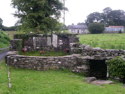 Saint Attracta's Wellholy well · 585 yd
 ToberaraghtHoly well · 585 yd
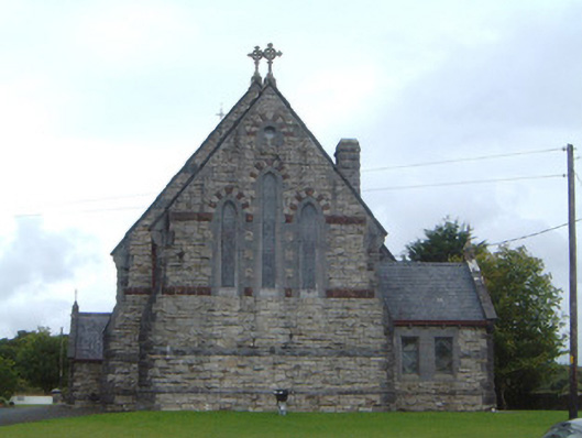 Saint Aidan's Catholic Churchchurch/chapel · 622 yd
 IndicatedFairy fort / stone ringfort · 759 yd
 Moygara CastleCastle · 2.4 mi
 Moygara Castle (in Ruins)Bawn · 2.4 mi
 Crow IslandIslet · 2.5 mi
 Castle PointHeadland · 2.6 mi
 Rose PointHeadland · 2.7 mi
 Inch IslandIslet · 2.8 mi
 Bockagh HillMountain / peak · 4.2 mi
 Square WoodForest · 5.4 mi
Other information
Photo: Credit not shown in the picture search · Rights wording not checked; contact us if this picture should be removed