What is recorded here
Marked as a road (L c. 200m) going E from a N-S public road to some houses on the 1837 ed. of the OS 6-inch map, and situated on the N-facing slope of a low ridge. A drystone wall and townland boundary survives (L c. 50m) at the W end, but there is no trace of the road which need not be ancient, or the houses.
Compiled by: Michael Moore
Date of upload: 24 August 2010
This remains an important historical record, but the official description says the monument is no longer visible or has been destroyed. The monument record does not grant public access. Check the route and ask the landowner before entering private land.
- What survives
- No visible remains or recorded as destroyed
Places near here
 IndicatedFairy fort / earthen ringfort · 520 yd
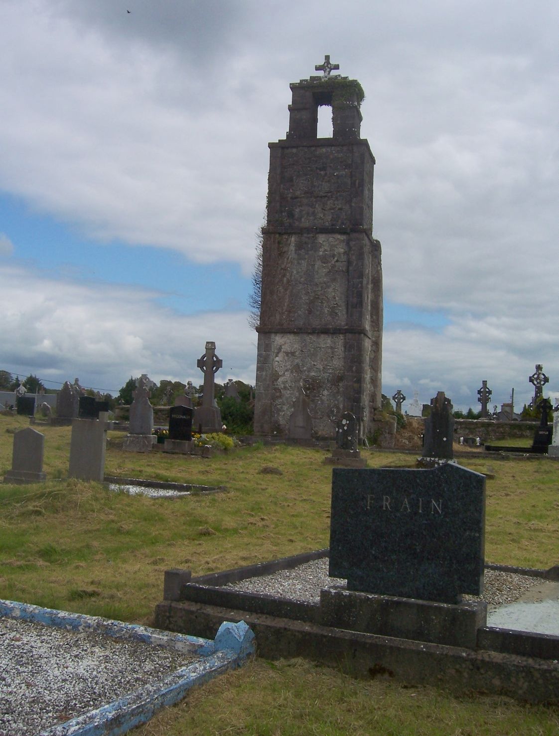 Ritual siteRitual site, holy/saint's stone · 765 yd
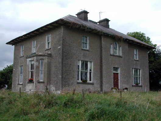 Rossmore Househouse · 1.6 mi
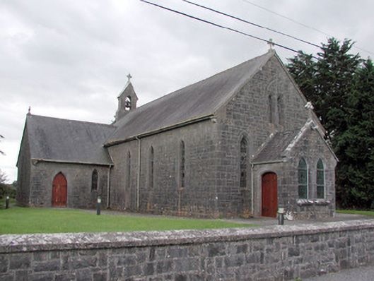 Saint Catherine's Catholic Churchchurch/chapel · 1.6 mi
 War of Independence Commemorative Military MemorialMemorial · 2.0 mi
 CastleCastle, unclassified · 3.0 mi
 Cruachan Aí Heritage CentreMuseum · 3.0 mi
 European ashEuropean ash · 3.2 mi
 ToberagullaSpring · 3.2 mi
 CastlerubyCastle, unclassified · 4.2 mi
 Sweet ChestnutSweet Chestnut · 7.1 mi
 Silver IslandIslet · 9.3 mi