What is recorded here
Indicated is a small circular barrow on the NE shoulder of a drumlin ridge in County Cavan, Ireland. It has a low earth-and-stone bank, a rising centre, and a large irregular boulder at its heart. Coniferous trees now crowd the site, but the shape still marks itself against the ridge like a forgotten chamber waiting to be remembered.
Marked 'Fort' on OS 1836 and 1876 eds. Sited on the NE shoulder of a drumlin ridge. Depicted as a tree-ring on the 1913 ed. Small circular area (int. diam. c. 14m N-S) enclosed by a low bank of earth and stone. The enclosed area rises from the perimeter to the centre where there is a large irregularly shaped boulder. The site has been planted with coniferous trees.
The above description is derived from the published 'Archaeological Inventory of County Cavan' (Dublin: Stationery Office, 1995). In certain instances the entries have been revised and updated in the light of recent research.
Date of upload/revision: 22 December 2008
A circular earthwork, likely a small enclosure or possible ringfort, dating to the Early Medieval period. Its function remains unclear, but such sites often had defensive, ritual, or domestic roles in the landscape.
The monument record does not grant public access. Check the route and ask the landowner before entering private land.
- What survives
- Recorded monument
Places near here
 R. C. ChapelChurch · 738 yd
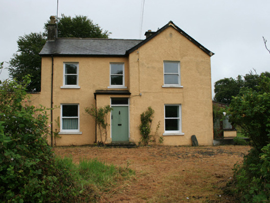 Gorteen Househouse · 793 yd
 IndicatedHoly well · 844 yd
 Crow IslandIslet · 1110 yd
 Green IslandPromontory fort, inland · 1208 yd
 Sally IslandIslet · 1328 yd
 Cloghbally LowerMountain / peak · 1466 yd
 Cloghballybeg ForestForest · 1639 yd
 Cornaglare or PalmiraMountain / peak · 1.4 mi
 Sit of Old CastleCastle, unclassified · 1.7 mi
 CastleCastle, unclassified · 1.9 mi
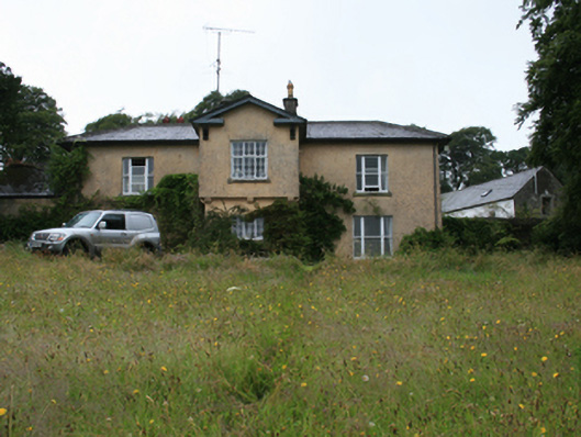 Lake View Housecountry house · 947 yd