What is recorded here
On flat grassland in upland area with good views in all directions. Not visible at ground level. An oval enclosure (diam. c. 45m NW-SE; c. 36m NE-SW) depicted on the 1st (1840) ed. OS 6-inch map but not indicated on the subsequent 1903 edition.
Compiled by: Jean Farrelly
Date of upload: 26 August 2011
The monument record does not grant public access. Check the route and ask the landowner before entering private land.
- What survives
- Recorded monument
Places near here
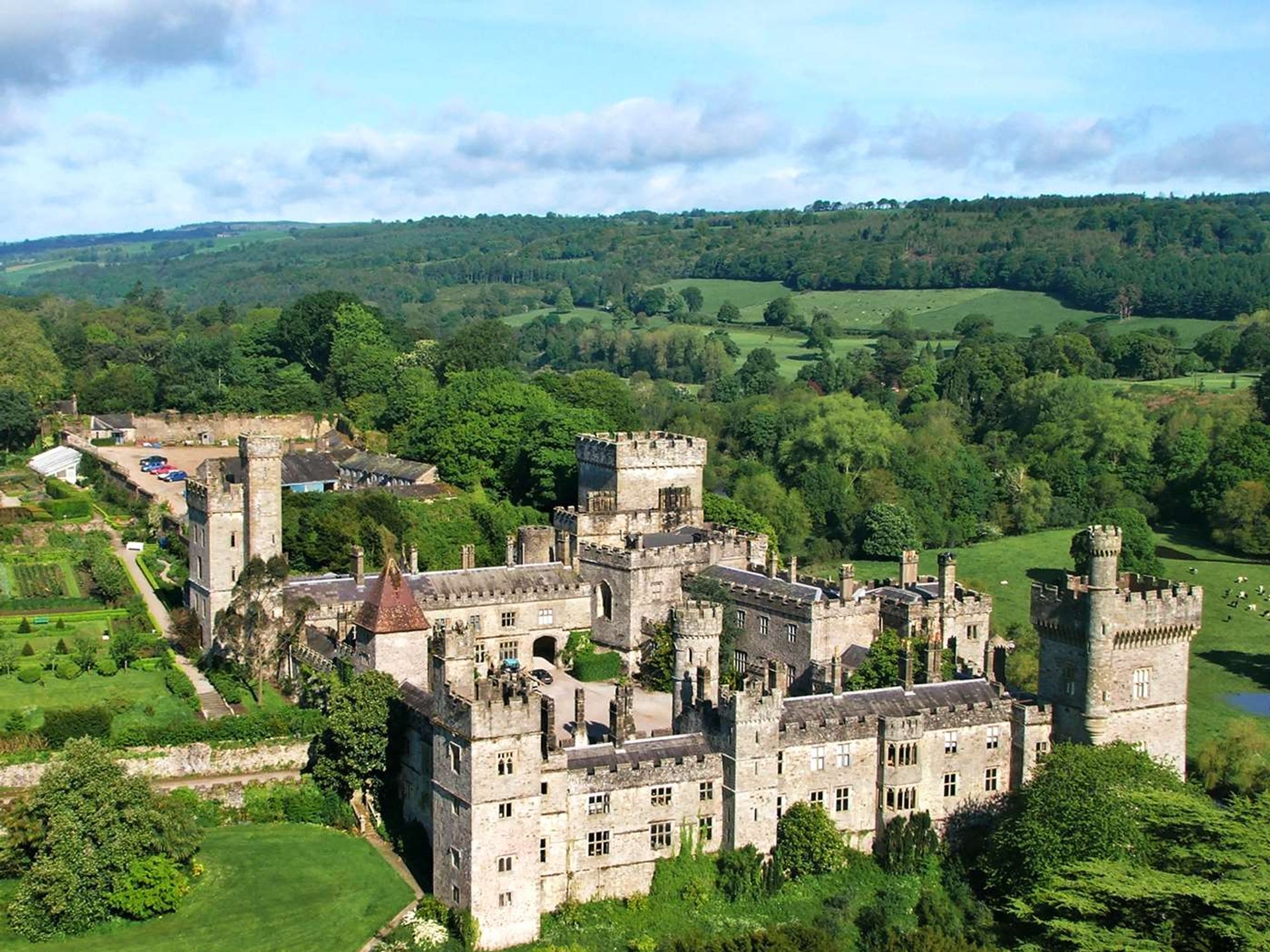 Site of Lisnamrock CastleCastle, unclassified · 248 yd
 Lisnamrock Collierychimney · 384 yd
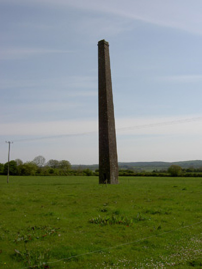 Copper Steeplechimney · 981 yd
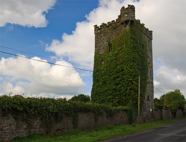 Site of Williamstown CastleCastle, unclassified · 1037 yd
 Site of ChurchChurch · 1.2 mi
 IndicatedFairy fort / earthen ringfort · 1.3 mi
 Warhouse HillMountain / peak · 2.6 mi
 Bregaun HillMountain / peak · 2.7 mi
 Top Field at Carey'sForest · 3.4 mi
 Second Field on the HillForest · 3.5 mi
 Slieveardagh Heritage CentreVisitor information · 4.6 mi
 Kilcooly AbbeyHeritage attraction · 4.8 mi