
What is recorded here
Indicated is a triangular burial ground in County Cork, Ireland. It sits slightly raised on a north-facing pasture slope, measuring fifteen metres long and ten metres wide. Grass and shadow have swallowed most markers, yet the dead remain arranged beneath the green. The land holds its shape without apology.
In pasture on N-facing slope. Triangular area (max. L 15m; max. Wth 10m) raised 0.5m above surrounding land. Interior heavily overgrown but some grave markers noted.
The above description is derived from the published 'Archaeological Inventory of County Cork. Volume 1: West Cork' (Dublin: Stationery Office, 1992). In certain instances the entries have been revised and updated in the light of recent research.
Date of upload/revision: 14 January 2009
The monument record does not grant public access. Check the route and ask the landowner before entering private land.
- What survives
- Recorded monument
Places near here
 Boulder-burial in BaurnahullaBoulder-burial · 392 yd
 Enclosure in Clashduff (carbery W. (e.d.) By.)Enclosure · 621 yd
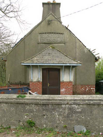 Parochial HallOfficially recorded historic building · 1117 yd
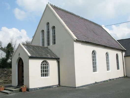 Drimoleague Methodist Churchchurch/chapel · 1543 yd
 Drimoleague Heritage Loop WalkWalking route · 1.3 mi
 Moyny Bridge WalkWalking route · 1.3 mi
 Castle DonovanCastle · 3.3 mi
 Castle Donovan (in Ruins)Castle, tower house · 3.3 mi
 Milane HillMountain / peak · 3.8 mi
 Nowen Hill SW TopMountain / peak · 4.5 mi
 Graveyard in ToughmacdermodyGraveyard · 5.1 mi
 Leap waterfallHeritage attraction · 6.5 mi
Other information
Photo: Credit not shown in the picture search · Rights wording not checked; contact us if this picture should be removed